PANGANI BASIN WATER BOARD
PANGANI BASIN WATER BOARD
PANGANI BASIN WATER BOARD

You also want an ePaper? Increase the reach of your titles
YUMPU automatically turns print PDFs into web optimized ePapers that Google loves.
Executive summary<br />
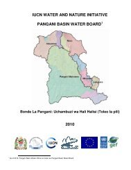
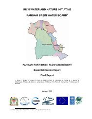
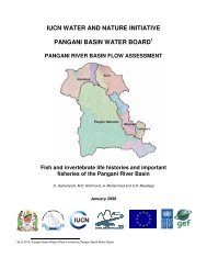
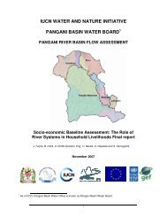
The Pangani River Basin (PRB) covers an area of about 43,650 km 2 , mostly in Tanzania with approximately<br />
5% in Kenya. In Tanzania, the Basin is spread over four administrative regions: Kilimanjaro, Arusha,<br />
Manyara and Tanga. Most of the Kenyan portion of the Basin falls within the Taita – Taveta District. The<br />
Pangani River has two main tributaries, the Kikuletwa and the Ruvu, which join at Nyumba ya Mungu, a<br />
reservoir of some 140 km 2 . The effluent of the reservoir is known as the Pangani River, which flows for<br />
432 km before emptying into the Indian Ocean.<br />
The Basin contains a wide array of resources. For its 3.7 million Tanzanian inhabitants, water and arable<br />
land are arguably the most important. The Basin’s highlands receive substantially more rainfall than<br />
its lowlands. Nevertheless, highland farming intensities and the competition for land have meant that<br />
farmers have had to start irrigating their farms in order to maximise outputs. Those unable to obtain<br />
highland land have been forced to seek farmland in lowland areas, where rainfall is substantially less,<br />
and where irrigation is of paramount importance. This difficulty has been exacerbated by general rainfall<br />
declines within the Basin.<br />
The competition for land has ensured that other land uses within the Basin, such as forestry, have<br />
come into direct competition with agriculture. In some cases, forests are protected by their national<br />
park status, such as that in the Mt. Kilimanjaro National Park, which falls under the purview of Tanzania<br />
National Parks (TANAPA). Other forests are ostensibly protected by the Kenyan and Tanzanian forestry<br />
departments. Through a combination of low staffing levels and difficult financial circumstances, however,<br />
these often do not enjoy the same standards of protection as those lying within TANAPA territory. The<br />
pressure on the PRB’s coastal and Eastern Arc forests is of particular concern, given the high levels of<br />
biotic endemism within them.<br />
Other resources within the Basin are its mineral deposits, which include tanzanite, tin and gemstones, its<br />
fisheries, wetlands and its numerous tourist attractions.<br />
A host of different actors exploit these resources, and this Situation Analysis groups them as follows:<br />
• Industrial interests, which include the Basin’s important hydropower contributions to the<br />
national grid, mining and agro-industries such as sugar refineries and sisal processing<br />
plants.<br />
• Farming interests: much traditional farming in the Basin is supported by irrigation. Traditional<br />
irrigation furrows are highly inefficient, and may loose as much as 85% of water between the<br />
point of abstraction and its destination. There are also several large-scale farming interests<br />
in the Basin, including sugar cane, sisal and flowers. Between 29,000 and 40,000 ha of<br />
the Tanzanian part of the PRB are irrigated, consuming between 400 and 480 million cubic<br />
metres of water annually.<br />
• Pastoralist interests: present livestock population levels in the Basin are unknown. It is thought<br />
that, by 2015, pastoralism will consume 36,400 m 3 of water a day.<br />
• Urban interests: the Basin contains two major Tanzanian urban conurbations: Moshi and<br />
Arusha. As they grow, their demand for water has also escalated on two fronts: for industrial<br />
and domestic use, and as a means of disposing of waste. It is expected that, by 2015, urban<br />
water demand in the Basin will reach 163,600 m 3 /day.<br />
There are, therefore, a diversity of interests in the Basin, and these are able to wield various degrees of<br />
power as they seek to lay claim to its resources. These differences in power underlie the many conflicts<br />
that characterise natural resource exploitation within the Basin. This Situation Analysis classifies these<br />
different types of conflict as follows:<br />
viii