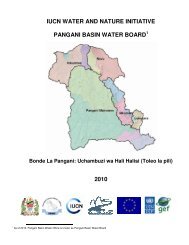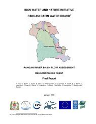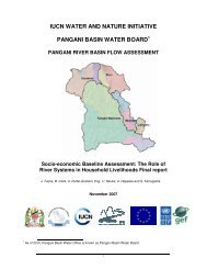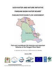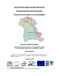
PANGANI BASIN WATER BOARD
PANGANI BASIN WATER BOARD
PANGANI BASIN WATER BOARD

Create successful ePaper yourself
Turn your PDF publications into a flip-book with our unique Google optimized e-Paper software.
The development of integrated management strategies for the PRB along with attendant forums. There<br />
appears to be little doubt that the Pangani River Basin (PRB) urgently needs integrated management<br />
strategies that can cope with its diverse and complicated issues. Possible options that could be considered<br />
include the development of water demand strategies, assessing downstream water requirements for<br />
people and the environment, water incremental approaches to management, streamlining management<br />
and increasing the role played by communities in the design and implementation of integrated NRM.<br />
The development of effective strategies to facilitate dialogue amongst and between resource users<br />
and managers of different types and involved in different sectors with a view to improving awareness<br />
at all levels of management. Mechanisms are needed to ensure that dialogue opportunities between<br />
and amongst stakeholders and managers are maximised, so as to ensure that two-way exchanges of<br />
information may occur, dissemination improved and the knowledge of how stakeholders all play a part<br />
in the well-being of the Basin delivered. It is necessary that awareness is created about all aspects of<br />
the condition and management of the Basin and its stakeholders at all levels of management and its<br />
co-ordination. Additional components of this priority area are the development of forums capable of<br />
assuming this task, as well as serving as a mechanism to remedy conflict, and to bridge gaps between<br />
different levels of administration<br />
The identification and development of an adequate data collection and monitoring system. This action<br />
area is not restricted to the development of data collection systems for hydrological data. A satellite<br />
and GIS assessment of land use, exploitation rates and geographical change is a pre-requisite for the<br />
development of land-use planning and monitoring. The development of methodologies to assess and<br />
gauge the underlying social and economic causes of environmental degradation and resource overexploitation<br />
also needs to be identified. Such systems should also be capable of identifying water<br />
demands within the Basin. The data and monitoring systems recommended must match local funding<br />
and maintenance capabilities.<br />
xii