<strong>Desert</strong> <strong>Research</strong> <strong>Institute</strong> Division of Earth & Ecosystem Sciences (DEES) Integrated <strong>Desert</strong> Terrain Forecasting for Military Operations (DTF) <strong>Desert</strong>s are, and will continue to be, strategic sites for military operations. Military success in desert conditions requires familiarity with these environments, as well as appropriate training and testing in locations that are characterized by rapidly changing surface conditions and climatic extremes, ranging from dust storm and brownout generation, to terrain-induced mobility and detection hazards. Photo: Graham Dalldorf predictive tool for forecasting desert terrain conditions (soils, vegetation cover, landscape form, dust emission potential) to support military activities. Project results have lead to the development of a geographic information system (GIS) platform to predict essential surface and subsurface terrain conditions through the integration of data on the spatial distribuexpert-based prediction system, linking surface observables to subsurface conditions over a wide range of scales in near real-time by incorporating information from satellite and unmanned aerial vehicle remote-sensing technology Major Tasks: geomorphic soil and landform models Develop global database of critical soil and terrain features for accurate soil property predictions in a wide variety of landscapes Acquire soil-surface data and improve technology to measure and model potential dust emission Improve remote-sensing strategies for desert characterization Continued advancement of integrated numerical models for production of rapid terrain characterization and visualization Photo: Todd G. Caldwell Related <strong>Research</strong> Sponsored in part by the Department of Defense Bacon, S.N., McDonald, E.V., Baker, S.E., Caldwell, T.G., and Stullenbarger, G. 2008. <strong>Desert</strong> terrain characterization of landforms and surface materials within vehicle test courses at U.S. Army Yuma Proving Ground, USA. Journal of Terramechanics 45, 5, p. 167-183. Berli, M., Caldwell, T.G., McDonald, E.V., and Gilewitch, D.A. In Press. Modeling desert pavement deterioration due to heavy vehicle traffic. Journal of Terramechanics. Caldwell, T.G., McDonald, E.V., Bacon, S.N., Stullenbarger, G. for military testing. Journal of Terramechanics 45, 6, p. 213-221. Caldwell, T.G., McDonald, E.V. and Young, M. 2008. Soil disturbance and unsaturated hydraulic response at the U.S. Army National Training Center, Ft. Irwin, California. Journal of Arid Environments, 67, p. 456-472. Dalldorf, G.K., McDonald, E.V., Bacon, S.N. and Nikolich, G. 2008. Testing and evaluation of a synthetic polymer for dust suppression in military applications. Geological Society of America Meeting, Oct. 5-10, Houston, TX.
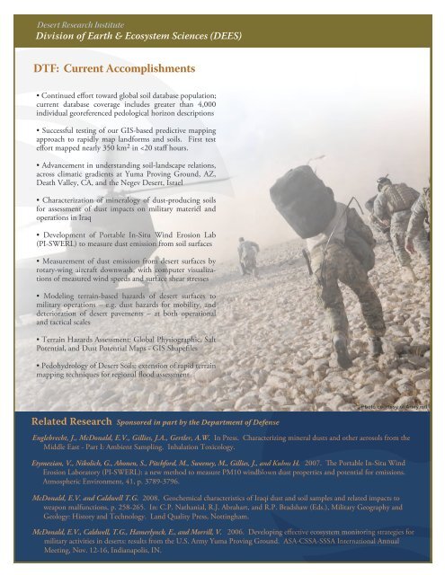
<strong>Desert</strong> <strong>Research</strong> <strong>Institute</strong> Division of Earth & Ecosystem Sciences (DEES) DTF: Current Accomplishments • Continued effort toward global soil database population; current database coverage includes greater than 4,000 individual georeferenced pedological horizon descriptions • Successful testing of our GIS-based predictive mapping approach to rapidly map landforms and soils. First test effort mapped nearly 350 km 2 in