2012 Seafloor Geodesy in Cascadia - William Wilcock - University of ...
2012 Seafloor Geodesy in Cascadia - William Wilcock - University of ...
2012 Seafloor Geodesy in Cascadia - William Wilcock - University of ...

Create successful ePaper yourself
Turn your PDF publications into a flip-book with our unique Google optimized e-Paper software.
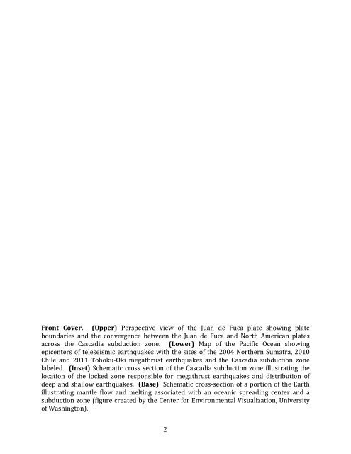
Front Cover. (Upper) Perspective view <strong>of</strong> the Juan de Fuca plate show<strong>in</strong>g plate <br />
boundaries and the convergence between the Juan de Fuca and North American plates <br />
across the <strong>Cascadia</strong> subduction zone. (Lower) Map <strong>of</strong> the Pacific Ocean show<strong>in</strong>g <br />
epicenters <strong>of</strong> teleseismic earthquakes with the sites <strong>of</strong> the 2004 Northern Sumatra, 2010 <br />
Chile and 2011 Tohoku-‐Oki megathrust earthquakes and the <strong>Cascadia</strong> subduction zone <br />
labeled. (Inset) Schematic cross section <strong>of</strong> the <strong>Cascadia</strong> subduction zone illustrat<strong>in</strong>g the <br />
location <strong>of</strong> the locked zone responsible for megathrust earthquakes and distribution <strong>of</strong> <br />
deep and shallow earthquakes. (Base) Schematic cross-‐section <strong>of</strong> a portion <strong>of</strong> the Earth <br />
illustrat<strong>in</strong>g mantle flow and melt<strong>in</strong>g associated with an oceanic spread<strong>in</strong>g center and a <br />
subduction zone (figure created by the Center for Environmental Visualization, <strong>University</strong> <br />
<strong>of</strong> Wash<strong>in</strong>gton). <br />
2