1434 e. commerce and 323 idaho - The City of San Antonio
1434 e. commerce and 323 idaho - The City of San Antonio
1434 e. commerce and 323 idaho - The City of San Antonio

You also want an ePaper? Increase the reach of your titles
YUMPU automatically turns print PDFs into web optimized ePapers that Google loves.
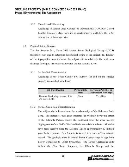
STERLING PROPERTY (<strong>1434</strong> E. COMMERCE AND <strong>323</strong> IDAHO)<br />
Phase I Environmental Site Assessment<br />
5.2.2 Closed L<strong>and</strong>fill Inventory<br />
According to Alamo Area Council <strong>of</strong> Governments (AACOG) Closed<br />
L<strong>and</strong>fill Inventory Map, there are no inactive/active l<strong>and</strong>fills within a ½-<br />
mile radius <strong>of</strong> the subject site.<br />
5.3 Physical Setting Sources<br />
<strong>The</strong> <strong>San</strong> <strong>Antonio</strong> East, Texas 2010 United States Geological Survey (USGS)<br />
(Exhibit 6) was used to determine the physical setting <strong>of</strong> the subject site. Review<br />
<strong>of</strong> the topographic map indicates the subject site is relatively flat with area<br />
drainage flowing to the southwest towards the <strong>San</strong> <strong>Antonio</strong> River.<br />
5.3.1 Surface Soil Characteristics<br />
According to the Bexar County Soil Survey, the soil on the subject<br />
property is classified as follows:<br />
Soil Classification<br />
Houston Black clay, terrace, 1 to<br />
3% slopes (HtB)<br />
Permeability<br />
Rate<br />
Slow<br />
Corrosion Potential on<br />
Unprotected Steel Pipe<br />
Very High<br />
5.3.2 Surface Geological Characterization<br />
<strong>The</strong> subject site is located near the southern edge <strong>of</strong> the Balcones Fault<br />
Zone. <strong>The</strong> Balcones Fault Zone separates the relatively horizontal strata<br />
<strong>of</strong> the Edwards Plateau toward the northwest from the more steeply<br />
dipping strata <strong>of</strong> the Gulf <strong>of</strong> Mexico Basin toward the southeast. All faults<br />
have been inactive since the Miocene Epoch approximately 13 million<br />
years before present. <strong>San</strong> <strong>Antonio</strong> is located in a zone <strong>of</strong> low seismic<br />
hazard. <strong>The</strong> geologic units in central Bexar County range in age from<br />
Lower Cretaceous to Upper Cretaceous. <strong>The</strong> Lower Cretaceous units<br />
include the Glen Rose Limestone, the Edwards Group, <strong>and</strong> the<br />
P:\76\75\99\Word\120904a1.doc 22