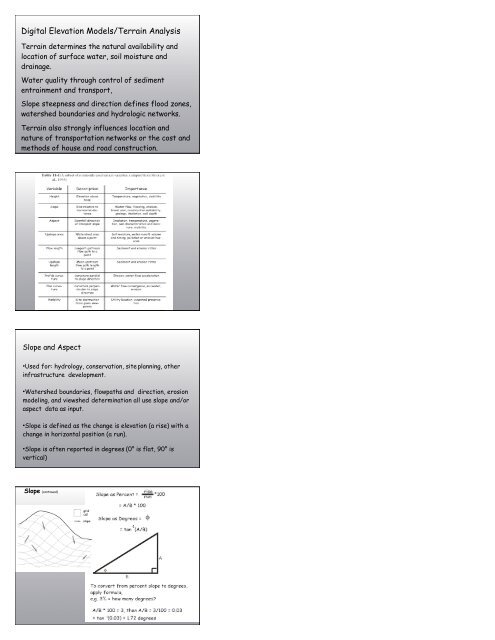
Digital Elevation Models/Terrain Analysis
Digital Elevation Models/Terrain Analysis
Digital Elevation Models/Terrain Analysis

You also want an ePaper? Increase the reach of your titles
YUMPU automatically turns print PDFs into web optimized ePapers that Google loves.
<strong>Digital</strong> <strong>Elevation</strong> <strong>Models</strong>/<strong>Terrain</strong> <strong>Analysis</strong><br />
<strong>Terrain</strong> determines the natural availability and<br />
location of surface water, soil moisture and<br />
drainage.<br />
Water quality through control of sediment<br />
entrainment and transport,<br />
Slope steepness and direction defines flood zones,<br />
watershed boundaries and hydrologic networks.<br />
<strong>Terrain</strong> also strongly influences location and<br />
nature of transportation networks or the cost and<br />
methods of house and road construction.<br />
Slope and Aspect<br />
•Used for: hydrology, conservation, site planning, other<br />
infrastructure development.<br />
•Watershed boundaries, flowpaths and direction, erosion<br />
modeling, and viewshed determination all use slope and/or<br />
aspect data as input.<br />
•Slope is defined as the change is elevation (a rise) with a<br />
change in horizontal position (a run).<br />
•Slope is often reported in degrees (0° is flat, 90° is<br />
vertical)<br />
Slope (continued)
Slope (continued)<br />
Measured in the steepest<br />
direction of elevation<br />
change<br />
Often does not fall parallel<br />
to the raster rows or<br />
columns<br />
Which cells to use?<br />
Several different methods:<br />
•Four nearest cells<br />
•3 rd Order Finite Difference<br />
Slope (continued)<br />
<strong>Elevation</strong> is Z<br />
•Using a moving window<br />
•Each cell is assigned a subscript and the<br />
elevation value at that location is referred to<br />
by a subscripted Z value<br />
The most common formula:<br />
Slope (continued)<br />
Generalized formula for<br />
Z/x and Z/y<br />
Using the four nearest<br />
for Z<br />
cells :Z/x o<br />
= (Z<br />
ΔZ/Δx = (49 – 40)/20 = 5 – Z<br />
0.45 4 )2*C<br />
Z/y ΔZ/Δy = (45 (Z– 48)/20 = -0.15<br />
2 – Z 7 )2*C<br />
•Slope calculation base on<br />
cells adjacent to the<br />
center cell<br />
•The distance is from cell<br />
center to cell center<br />
Slope (continued)
Slope (continued)<br />
Multiply (kernal, cell by cell)<br />
Add (results)<br />
Divide by #cells x cell width<br />
Use slope formula<br />
Multiply (kernal, cell by cell)<br />
Add (results)<br />
Divide by #cells x cell width<br />
Use slope formula<br />
Aspect<br />
Aspect<br />
The orientation (in compass angles) of a slope<br />
Calculation:<br />
Aspect = tan -1 [ -(Z/y)/(Z/x)]<br />
As with slope, estimated aspect varies with the methods<br />
used to determine Z/x and Z/y<br />
Aspect calculations also use the four nearest cell or the<br />
3 rd -order finite difference methods
Curvature<br />
Watershed<br />
•An area that contributes flow to a point on the landscape<br />
Water falling anywhere in the upstream area of a<br />
watershed will pass through that point.<br />
•Many be small or large<br />
•Identified from a flow direction surface<br />
Drainage network<br />
•A set of cells through which surface water flows<br />
•Based on the flow direction surface<br />
Watershed Delineation is a<br />
Multi-step Process<br />
• Condition DEM (same horizontal &<br />
vertical units, region of interest...)<br />
• Fill DEM<br />
• Flow Direction<br />
• Flow Accumulation<br />
• Stream Definition<br />
• Outlet Identification<br />
• Watershed Delineation<br />
16
Flow direction<br />
Use in hydrologic analysis<br />
Excess water at a point on the Earth will flow in a<br />
given direction<br />
Flow may be either on or below surface but always in<br />
the direction of steepest descent (often the same<br />
as local aspect)<br />
Directions stored as compass angle is raster data<br />
layer<br />
Target<br />
Landscape<br />
19<br />
Filled<br />
cells<br />
20
Flow<br />
Direction<br />
21<br />
Flow<br />
Accumulation<br />
22<br />
Stream<br />
Threshold<br />
23<br />
Outlet<br />
definition<br />
and<br />
watershed<br />
delineation<br />
24
Watershed,<br />
Streams,<br />
and<br />
Outlets<br />
25<br />
Viewshed<br />
The viewshed for a point is the collection<br />
of areas visible from that point.<br />
Views from any non-flat location are blocked by<br />
terrain.<br />
<strong>Elevation</strong>s will hide a point if they are higher than the<br />
viewing point, or higher than the line of site between the<br />
viewing point and target point<br />
not
Shaded Relief Surfaces