Shetland Local Landscape Designation Review: Final Report
Shetland Local Landscape Designation Review: Final Report
Shetland Local Landscape Designation Review: Final Report
Create successful ePaper yourself
Turn your PDF publications into a flip-book with our unique Google optimized e-Paper software.
7 Evaluation<br />
7.1 This section discusses the findings of the landscape evaluation. The landscape<br />
evaluation process is largely quantitative, and is described in Section 3.<br />
Evaluation sheets for each individual LCU are included in Appendix 2.<br />
RESULTS BY EVALUATION CRITERIA<br />
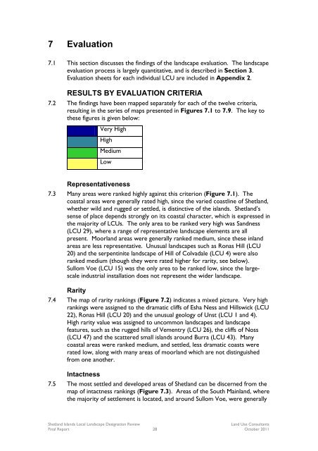
7.2 The findings have been mapped separately for each of the twelve criteria,<br />
resulting in the series of maps presented in Figures 7.1 to 7.9. The key to<br />
these figures is given below:<br />
Very High<br />
High<br />
Medium<br />
Low<br />
Representativeness<br />
7.3 Many areas were ranked highly against this criterion (Figure 7.1). The<br />
coastal areas were generally rated high, since the varied coastline of <strong>Shetland</strong>,<br />
whether wild and rugged or settled, is distinctive of the islands. <strong>Shetland</strong>’s<br />
sense of place depends strongly on its coastal character, which is expressed in<br />
the majority of LCUs. The only area to be ranked very high was Sandness<br />
(LCU 29), where a range of representative landscape elements are all<br />
present. Moorland areas were generally ranked medium, since these inland<br />
areas are less representative. Unusual landscapes such as Ronas Hill (LCU<br />
20) and the serpentinite landscape of Hill of Colvadale (LCU 4) were also<br />
ranked medium (though they were rated higher for rarity, see below).<br />
Sullom Voe (LCU 15) was the only area to be ranked low, since the largescale<br />
industrial installation does not represent the wider landscape.<br />
Rarity<br />
7.4 The map of rarity rankings (Figure 7.2) indicates a mixed picture. Very high<br />
rankings were assigned to the dramatic cliffs of Esha Ness and Hillswick (LCU<br />
22), Ronas Hill (LCU 20) and the unusual geology of Unst (LCU 1 and 4).<br />
High rarity value was assigned to uncommon landscapes and landscape<br />
features, such as the rugged hills of Vementry (LCU 26), the cliffs of Noss<br />
(LCU 47) and the scattered small islands around Burra (LCU 43). Many<br />
coastal areas were ranked medium, and settled, less dramatic coasts were<br />
rated low, along with many areas of moorland which are not distinguished<br />
from one another.<br />
Intactness<br />
7.5 The most settled and developed areas of <strong>Shetland</strong> can be discerned from the<br />
map of intactness rankings (Figure 7.3). Areas of the South Mainland, where<br />
the majority of settlement is located, and around Sullom Voe, were generally<br />
<strong>Shetland</strong> Islands <strong>Local</strong> <strong>Landscape</strong> <strong>Designation</strong> <strong>Review</strong><br />
Land Use Consultants<br />
<strong>Final</strong> <strong>Report</strong> 28 October 2011


