Shetland Local Landscape Designation Review: Final Report
Shetland Local Landscape Designation Review: Final Report
Shetland Local Landscape Designation Review: Final Report
Create successful ePaper yourself
Turn your PDF publications into a flip-book with our unique Google optimized e-Paper software.
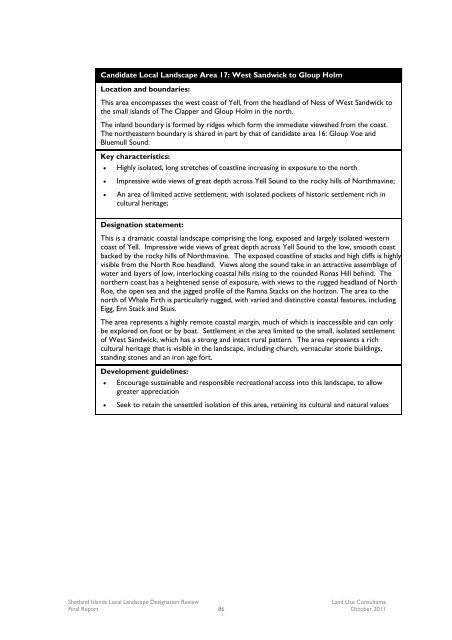
Candidate <strong>Local</strong> <strong>Landscape</strong> Area 17: West Sandwick to Gloup Holm<br />
Location and boundaries:<br />
This area encompasses the west coast of Yell, from the headland of Ness of West Sandwick to<br />
the small islands of The Clapper and Gloup Holm in the north.<br />
The inland boundary is formed by ridges which form the immediate viewshed from the coast.<br />
The northeastern boundary is shared in part by that of candidate area 16: Gloup Voe and<br />
Bluemull Sound.<br />
Key characteristics:<br />
<br />
<br />
<br />
Highly isolated, long stretches of coastline increasing in exposure to the north<br />
Impressive wide views of great depth across Yell Sound to the rocky hills of Northmavine;<br />
An area of limited active settlement, with isolated pockets of historic settlement rich in<br />
cultural heritage;<br />
<strong>Designation</strong> statement:<br />
This is a dramatic coastal landscape comprising the long, exposed and largely isolated western<br />
coast of Yell. Impressive wide views of great depth across Yell Sound to the low, smooth coast<br />
backed by the rocky hills of Northmavine. The exposed coastline of stacks and high cliffs is highly<br />
visible from the North Roe headland. Views along the sound take in an attractive assemblage of<br />
water and layers of low, interlocking coastal hills rising to the rounded Ronas Hill behind. The<br />
northern coast has a heightened sense of exposure, with views to the rugged headland of North<br />
Roe, the open sea and the jagged profile of the Ramna Stacks on the horizon. The area to the<br />
north of Whale Firth is particularly rugged, with varied and distinctive coastal features, including<br />
Eigg, Ern Stack and Stuis.<br />
The area represents a highly remote coastal margin, much of which is inaccessible and can only<br />
be explored on foot or by boat. Settlement in the area limited to the small, isolated settlement<br />
of West Sandwick, which has a strong and intact rural pattern. The area represents a rich<br />
cultural heritage that is visible in the landscape, including church, vernacular stone buildings,<br />
standing stones and an iron age fort.<br />
Development guidelines:<br />
<br />
<br />
Encourage sustainable and responsible recreational access into this landscape, to allow<br />
greater appreciation<br />
Seek to retain the unsettled isolation of this area, retaining its cultural and natural values<br />
<strong>Shetland</strong> Islands <strong>Local</strong> <strong>Landscape</strong> <strong>Designation</strong> <strong>Review</strong><br />
Land Use Consultants<br />
<strong>Final</strong> <strong>Report</strong> 86 October 2011


