Octopus Harald - Marine Accident Investigation Branch
Octopus Harald - Marine Accident Investigation Branch
Octopus Harald - Marine Accident Investigation Branch
You also want an ePaper? Increase the reach of your titles
YUMPU automatically turns print PDFs into web optimized ePapers that Google loves.
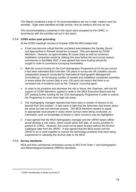
The Report contained a total of 18 recommendations set out in high, medium and lowpriorities. Eight were identified as high priority, nine as medium and one as low.The recommendations contained in the report were accepted by the CHRC, inaccordance with the priorities set out in the report.1.7.4 COSH action post groundingAt the COSH meeting 5 minutes of October 2006 the MCA stated that:• It had now become critical that the uncharted area between the Sanday Soundand Approaches to Kirkwall should be surveyed. This was agreed by COSHMembers. However, as approximately 40 cruise ships as well as numerousinstallation companies would be utilising this area before the next survey seasoncommences in April/May 2007, it was agreed that more funding should besought in order to commence surveying immediately.• With the current funding for the Civil Hydrography Programme at £5.4m per annumit has been estimated that it will take 100 years to survey the UK coastline (source:independent research conducted by International Hydrographic ManagementConsultancy). An increasing number of vessels and installation companies operatingin areas where the current data is over 100 years old means that there is anincreased risk of incidents such as the “<strong>Octopus</strong>” occurring again.• In order to be proactive and decrease the risk in future, the Chairman, with the fullsupport of COSH Members, agreed to write to the MCA Executive Board and theDfT seeking further funding for the Civil Hydrography Programme in order to extendthe Programme to cover more high risk areas.• The Hydrography manager reported that there were a number of lessons to belearned from this incident. It had come to light that the fishermen had known aboutthe shoal but had not informed anyone. The MCA therefore needed to speakto appropriate local people in areas where surveys were being conducted, asinformation such as knowledge of shoals or other concerns may be highlighted.• It was agreed that the MCA Hydrography manager and the UKHO liaison officerwould develop a risk matrix, which would utilise AIS data, of survey priorities topresent to CHRC. However, this could not be taken forward without the ArchiveCatalogue data from the UKHO. It was agreed that the MCA would visit theUKHO to try to work together to resolve the technology problems that were beingexperienced in releasing the Archive data to the MCA.1.7.5 Survey standardsMCA and their commercial contractors survey to IHO S-44 Order 1 and Hydrographicand Meteorological Guidance (HMOG) standards.5 COSH membership is shown at Annex D19


