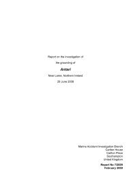
Octopus Harald - Marine Accident Investigation Branch
Octopus Harald - Marine Accident Investigation Branch
Octopus Harald - Marine Accident Investigation Branch

Create successful ePaper yourself
Turn your PDF publications into a flip-book with our unique Google optimized e-Paper software.
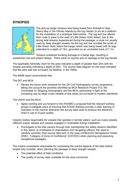
SYNOPSISThe jack-up barge <strong>Octopus</strong> was being towed from Kirkwall to SealSkerry Bay in the Orkney Islands by the tug <strong>Harald</strong>, to act as a platformfor the installation of a prototype tidal turbine. The tug and tow alteredtheir route to pass to the west of Little Green Holm Island, due to thestrong tidal streams experienced during the passage, a route not usuallyused by deep draught vessels. As the tug and tow rounded the south ofLittle Green Holm Island the barge, which was being towed with its legsextended to a depth of 13m, grounded on an uncharted bank of 7.1m.<strong>Octopus</strong> sustained buckling damage to 4 barge legs, resulting insubstantial cost and project delays. There were no injuries and no damage to the tug <strong>Harald</strong>.The applicable Admiralty chart for the area indicated a depth of greater than 20m with theclosest sounding indicating a depth of 26m. The source data diagram on the chart indicatedthat the area was last surveyed, by leadline, in the 1840s.The MAIB report recommends that:The DfT and MCA:• Review the future work schedule for the UK Civil Hydrography survey programme,taking into account the priorities identified by MCA Research Project 512, theCommittee on Shipping Hydrography and the MCA, particularly in light of theincreasing use by large cruise vessels of sea areas not surveyed to modern standards.The UKHO and the MCA:• Agree wording and put forward to the IHO/IMO a proposal that the relevant workinggroups investigate ways of ensuring that ECDIS displays provide a clear warning orindication to the mariner whenever the survey data used to produce the electronicchart in use is of poor quality.Industry bodies responsible for vessels that operate in remote waters, such as cruise vessels,offshore supply vessels and vessels engaged in renewable energy installation:• Promulgate to the ship owners through their membership the safety lessons identifiedin this report, to emphasize to shipmasters and navigating officers, the need tocarefully consider chart source data and, in the case of Electronic Navigational Charts(ENC), “Category of Zone of Confidence” (CATZOC) when planning and executingnavigational passages.The marine consultants responsible for overseeing the marine aspects of the tidal turbineproject fully consider, when planning the passage of deep draught vessels:• The potential effect of tidal conditions.• The quality of survey data, available for the area concerned.1