Climate Change in the Champlain Basin - The Nature Conservancy
Climate Change in the Champlain Basin - The Nature Conservancy
Climate Change in the Champlain Basin - The Nature Conservancy

Create successful ePaper yourself
Turn your PDF publications into a flip-book with our unique Google optimized e-Paper software.
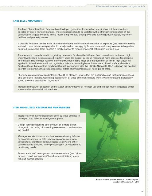
What natural resource managers can expect and doLake level adaptation• <strong>The</strong> Lake Champla<strong>in</strong> Bas<strong>in</strong> Program has developed guidel<strong>in</strong>es for shorel<strong>in</strong>e stabilization but <strong>the</strong>y have beenadopted by only a few communities. Those standards should be updated with a stronger consideration of <strong>the</strong>conservation targets identified <strong>in</strong> this report and promoted among local and state regulatory bodies, eng<strong>in</strong>eers,builders and property owners.• If credible forecasts can be made of future lake levels and shorel<strong>in</strong>e <strong>in</strong>undation or exposure (see research needs),wetland conservation strategies should be adjusted accord<strong>in</strong>gly by federal, state and nongovernmental organizationsto help prepare <strong>the</strong>m to act <strong>in</strong> a timely manner to reduce or prevent anticipated wetland loss.• <strong>The</strong> measures currently used <strong>in</strong> regulatory processes (such as <strong>the</strong> 100-year flood hazard zone and mean highwater level) should be recalculated regularly, us<strong>in</strong>g <strong>the</strong> current period of record and more accurate topographic<strong>in</strong>formation. This <strong>in</strong>cludes revision of <strong>the</strong> FEMA flood hazard maps and <strong>the</strong> def<strong>in</strong>ition of “mean high water” asapplied <strong>in</strong> federal, state and local regulations. More accurate high-resolution maps of land surface elevations(such as those that could be produced through partnership with <strong>the</strong> USGS’s National LIDAR Initiative) are needed<strong>in</strong> order to determ<strong>in</strong>e <strong>the</strong> precise locations, extent and vulnerabilities of flood-prone areas.• Shorel<strong>in</strong>e erosion mitigation strategies should be planned <strong>in</strong> ways that are susta<strong>in</strong>able and that m<strong>in</strong>imize undesirableecological impacts. Govern<strong>in</strong>g agencies on all sides of <strong>the</strong> lake should work toward consistent, biologicallysound shorel<strong>in</strong>e stabilization regulations.• Increase shoreowner education on <strong>the</strong> water-quality impacts of fertilizer use and <strong>the</strong> benefits of vegetated bufferzones to shorel<strong>in</strong>e stabilization efforts.Fish and mussel assemblage management• Incorporate climate considerations such as those outl<strong>in</strong>ed <strong>in</strong>this report <strong>in</strong>to fisheries management plans.• Design fish<strong>in</strong>g seasons to take account of climate-drivenchanges <strong>in</strong> <strong>the</strong> tim<strong>in</strong>g of spawn<strong>in</strong>g (see research and monitor<strong>in</strong>gneeds).• Management decisions should be more consistently <strong>in</strong>formedby accurate and up-to-date <strong>in</strong>formation concern<strong>in</strong>g watertemperature, plankton ecology, species viability, and o<strong>the</strong>rconsiderations identified <strong>in</strong> <strong>the</strong> preced<strong>in</strong>g list of research andmonitor<strong>in</strong>g needs.• Stream and runoff management recommendations (see “tributaryand runoff management”) are key to ma<strong>in</strong>ta<strong>in</strong><strong>in</strong>g viablefish and mussel habitats.Aquatic <strong>in</strong>vasive species research, Lake Champla<strong>in</strong>,courtesy of Ann Bove, VT DEC37