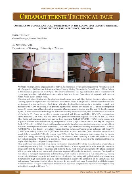
PERTEMUAN PERSATUAN (Meetings of the Society)CERAMAH TEKNIK TECHNICAL TALKCONTROLS OF COPPER AND GOLD DISTRIBUTION IN THE KUCING LIAR DEPOSIT, ERTSBERGMINING DISTRICT, PAPUA PROVINCE, INDONESIABrian T.E. NewGeneral Manager, Penjom Gold Mine30 November 2011<strong>Department</strong> of <strong>Geology</strong>, University of MalayaAbstract: Kucing Liar is a large sediment-hosted Cu-Au mineralized system containing some 15 Moz of gold and 5Mt of copper in ~500 Mt of ore. It is situated in the Ertsberg Mining District in the Central Ranges of New Guinea,in the Indonesian province of West Papua. This study demonstrates that high sulphidation ore is continuous withtypical porphyry-skarn style chalcopyrite ore and that both have formed from mixing of magmatic with meteoricwaters within a zone of fault offset.Alteration and mineralization were localised within calcareous shale and thinly bedded limestone adjacent to theGrasberg Igneous Complex where they are zoned around fault offsets. Early phases of alteration are stratiform andare juxtaposed against the Idenberg Fault Zone, which has displaced host stratigraphy at least 600m vertically andpossibly up to ~1,500 m laterally. Four principal hydrothermal mineral associations are (1) calcic and magnesianskarn, (2) potassic assemblages including magnetite, (3) quartz-muscovite plus anhydrite and (4) locally massivepyrite. Cu and Au are associated with pyrite and occur discretely either as chalcopyrite ± bornite with an associationof Cu-Au-Co (Zn-Pb) or as covellite ± enargite associated with Cu-Au (As-Sb-Hg). 40Ar/39Ar geochronologyshows muscovite (3.18 ± 0.02 Ma) was coeval with potassic-biotite assemblages (3.18 ± 0.02 Ma and 3.20 ± 0.04Ma). Calcic and magnesian skarn were derived from magmatic fluids (d 18 OFLUID = 9-6‰), while potassic andmagnetite alteration were derived from high temperature (>650°C), high salinity (>50wt% NaClEQUIV.) magmaticfluids (d 18 OFLUID = 6-12‰). Quartz infill crystals associated with voluminous silicification contain a variety of fluidinclusions that range from moderate temperature (TH
PERTEMUAN PERSATUAN (Meetings of the Society)CERAMAH TEKNIK TECHNICAL TALKTHE USE OF QUANTITATIVE DIGITAL OUTCROP ANALYSIS TO DEVELOP BETTERARCHITECTURAL MODELS AND IMPROVE RESERVOIR CHARACTERISATION INPUT TORESERVOIR MODELSJonathan RedfernUniversity of Manchester, Basin Studies and Petroleum Geoscience6 December 2011<strong>Department</strong> of <strong>Geology</strong>, University of MalayaAbstract: Digital outcrop analysis using LiDAR (light detection and ranging), offers a technique to develop a betterunderstanding of depositional systems and the definition of geobodies and architectural elements for input to reservoirmodels. The presentation will discuss typical workflows and methodologies to improve digital outcrop studies, andpresent a number of detailed case studies, that highlight the collection of a full suite of sedimentological data andresultant statistical analysis. The results provide improved statistical data of the chosen reservoir intervals and havean impact on reservoir models in these types of systems.The studies have been carried out using LIDAR, differential global positioning system (DGPS), digital photogrammetry(using multiple digital images to reconstruct three dimensional information) and detailed outcrop logging. The densedataset allows the mapping of facies, <strong>geologi</strong>cal object distribution and architecture.The Manchester Petroleum Geoscience Centre (PGC) has unique facilities and research expertise to form the basefor quantitative outcrop data collection, proprietary software available to the group include Polyworks , PetrelTM,GeoFrame®, VoxelGeo®, ArcInfoTM among others. We have also developed student in-house software VirtualReality Geological Studio (VRGS) which enables rapid integration and interpretation of acquired digital outcropdata, and transfer to Petrel or similar software for mapping and interpretation.Two recent example studies will be presented; integrated research on the Early Triassic of Morocco and EasternCanada, to better understand the depositional systems and develop high resolution reservoir models of the fluvialsystems; and research on fractured carbonates, using LiDaR data to better quantify fracture orientation, density andaddress the controls on fracture distribution in Miocene aged limestones from the Sinia of Egypt.Selected References:Redfern, J., Hodgetts, D. & Fabuel-Perez, I. (2007). Digital analysis brings renaissance for petroleum geology outcrop studies in North Africa. In:First Break 25, 81-87.Fabuel-Perez, I.; Redfern, J.; Hodgetts, D., (2009), Sedimentology of an intra-montane rift-controlled fluvial dominated succession: The UpperTriassic Oukaimeden Sandstone Formation, Central High Atlas, Morocco, Sedimentary <strong>Geology</strong>, v. 218, iss. 1-4, 103-140.Fabuel-Perez, I., Hodgetts, D., & Redfern, J., (2009), A new approach for outcrop characterization and geostatistical analysis of a low-sinuosityfluvial-dominated succession using digital outcrop models; Upper Triassic Oukaimeden Sandstone Formation, central High Atlas, MoroccoAAPG Bulletin, 93, 6, 795-827Van Lanen, X.M.T., Hodgetts, D., Redfern, J., Fabuel-Perez, I. (2009). " Applications of digital outcrop models; two fluvial case studies from theTriassic Wolfville Fm., Canada and Oukaimeden Sandstone Fm., Morocco." Geological Journal, 44(6): 742-760.Redfern, J., Shannon, P.M., Williams, B.P.J., Tyrell, S., Leleu, S., Fabuel Perez, I., Baudon, C., Stolfova, K., Hodgetts, D., Speksnijder, A., Haughton,P.D.W, Daly, J.S. , (2011) An integrated study of Permo-Triassic basins along the North Atlantic passive margin: implication for futureexploration. Geological Society, London, Petroleum <strong>Geology</strong> Conference series 2011, v. 7, p. 921-936, doi: 10.1144/0070921Warta Geologi, Vol. 36, No. 3&4, Jul–Dec 2011241