ArcGIS Hydro Model Tutorial
ArcGIS Hydro Model Tutorial
ArcGIS Hydro Model Tutorial

Create successful ePaper yourself
Turn your PDF publications into a flip-book with our unique Google optimized e-Paper software.
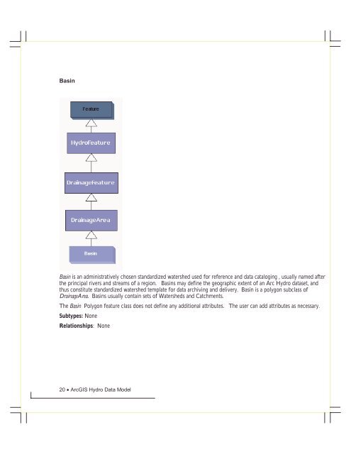
BasinBasin is an administratively chosen standardized watershed used for reference and data cataloging , usually named afterthe principal rivers and streams of a region. Basins may define the geographic extent of an Arc <strong>Hydro</strong> dataset, andthus constitute standardized watershed template for data archiving and delivery. Basin is a polygon subclass ofDrainageArea. Basins usually contain sets of Watersheds and Catchments.The Basin Polygon feature class does not define any additional attributes. The user can add attributes as necessary.Subtypes: NoneRelationships: None20 • <strong>ArcGIS</strong> <strong>Hydro</strong> Data <strong>Model</strong>