A Rapid Assessment of Kili Island - Sea Grant College Program
A Rapid Assessment of Kili Island - Sea Grant College Program
A Rapid Assessment of Kili Island - Sea Grant College Program
You also want an ePaper? Increase the reach of your titles
YUMPU automatically turns print PDFs into web optimized ePapers that Google loves.
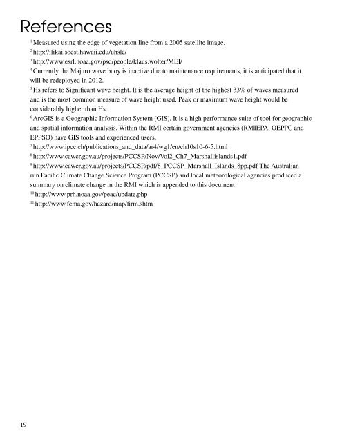
References1Measured using the edge <strong>of</strong> vegetation line from a 2005 satellite image.2http://ilikai.soest.hawaii.edu/uhslc/3http://www.esrl.noaa.gov/psd/people/klaus.wolter/MEI/4Currently the Majuro wave buoy is inactive due to maintenance requirements, it is anticipated that itwill be redeployed in 2012.5Hs refers to Significant wave height. It is the average height <strong>of</strong> the highest 33% <strong>of</strong> waves measuredand is the most common measure <strong>of</strong> wave height used. Peak or maximum wave height would beconsiderably higher than Hs.6ArcGIS is a Geographic Information System (GIS). It is a high performance suite <strong>of</strong> tool for geographicand spatial information analysis. Within the RMI certain government agencies (RMIEPA, OEPPC andEPPSO) have GIS tools and experienced users.7http://www.ipcc.ch/publications_and_data/ar4/wg1/en/ch10s10-6-5.html8http://www.cawcr.gov.au/projects/PCCSP/Nov/Vol2_Ch7_Marshallislands1.pdf9http://www.cawcr.gov.au/projects/PCCSP/pdf/8_PCCSP_Marshall_<strong>Island</strong>s_8pp.pdf The Australianrun Pacific Climate Change Science <strong>Program</strong> (PCCSP) and local meteorological agencies produced asummary on climate change in the RMI which is appended to this document10http://www.prh.noaa.gov/peac/update.php11http://www.fema.gov/hazard/map/firm.shtm19


