Asparagus weeds - Weeds Australia
Asparagus weeds - Weeds Australia
Asparagus weeds - Weeds Australia
- No tags were found...

You also want an ePaper? Increase the reach of your titles
YUMPU automatically turns print PDFs into web optimized ePapers that Google loves.
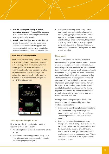
• Has the coverage or density of nativevegetation increased? This could be measuredat the same time as measuring the density ofasparagus and other <strong>weeds</strong>.• Which control method is most effective? Toanswer this question, monitor areas wheredifferent control methods are applied andcompare results. Make sure your monitoringmethod is consistent across the different sites.Bitou bush monitoring manualThe Bitou Bush Monitoring Manual – Hugheset al. (2009) outlines a three-tiered approachto monitoring with techniques ranging fromsimple qualitative assessments to robustresearch studies, allowing managers to adoptthe level most suitable to their objectivesand desired outcomes, skills and resources.Available at www.environment.nsw.gov.au/bitouTAP/monitoring.htm.Selecting monitoring locationsHere are some basic principles for choosinglocations to make observations:• Monitoring locations should be easy and safe toaccess.• Establish set monitoring points so that you canreturn to make your observations from exactlythe same spot year after year.• Mark your monitoring points using GPS ormap coordinates, a physical marker such asa stake, or flagging tape tied around a tree ora prominent and permanent feature such as alarge boulder, a fence corner post, the junctionof walking tracks. It pays to mark your pointusing more than one of these methods and torecord the location with a photograph and entryin your site diary.PhotopointsThis is a very simple but effective method ofdocumenting change and progress. Photopoints area series of photographs recording any activity orfeature of your site taken from fixed locations overtime. A picture will indeed speak a thousand wordsto members of your group, the wider communityand funding bodies. But it is not as simple as that.There are limitations to photographic records ofvegetation. It is often difficult to interpret imagesof green on green, so photopoints should alwaysbe accompanied by observational informationor detailed monitoring data such as the densityof plants. Photopoints are particularly useful forrecording the results of weed control on a largeweed infestation over time.Using photopoints requires preparation and asystematic method, supported by meticulouswritten documentation:• Establish and record your photopoint locations;GPS coordinates, compass bearings, postmarkers (see selecting monitoring locations).Give each photopoint a unique number orname.• Return to the same photopoints to recordchanges over time. It is important to use exactlythe same location, face the same direction withthe camera at the same height, at the sametime of day, so that images are comparable. Ifpossible, use the same camera and lens. Alwaysconsider where the sun is and try not to take aphoto into the sun.85