AOS 452 Lab 1: UNIX and the WEATHER program - Marrella
AOS 452 Lab 1: UNIX and the WEATHER program - Marrella
AOS 452 Lab 1: UNIX and the WEATHER program - Marrella

You also want an ePaper? Increase the reach of your titles
YUMPU automatically turns print PDFs into web optimized ePapers that Google loves.
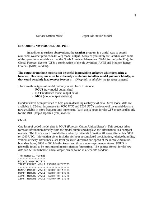
5Surface Station ModelUpper Air Station ModelDECODING NWP MODEL OUTPUTIn addition to surface observations, <strong>the</strong> wea<strong>the</strong>r <strong>program</strong> is a useful way to accessnumerical wea<strong>the</strong>r prediction (NWP) model output. Many of you likely are familiar with someof <strong>the</strong> operational models such as <strong>the</strong> North American Mesoscale (NAM, formerly <strong>the</strong> Eta), <strong>the</strong>Global Forecast System (GFS; a combination of <strong>the</strong> old Aviation [AVN] <strong>and</strong> Medium RangeForecast [MRF] models).The output from <strong>the</strong>se models can be useful in providing guidance while preparing aforecast. However, one must be extremely careful not to follow model guidance blindly, asthat could certainly lead to poor forecasts. (Keep this in mind for <strong>the</strong> forecast contest!)There are three types of model output you will learn to decode:– FOUS (raw model output data)– EXT (extended model output data)– MOS (model output statistics)H<strong>and</strong>outs have been provided to help you in decoding each type of data. Most model data areavailable in 12-hour increments (at 0000 UTC <strong>and</strong> 1200 UTC), <strong>and</strong> some of <strong>the</strong> model data arenow available in more frequent time increments (such as six hours for <strong>the</strong> GFS model <strong>and</strong> hourlyfor <strong>the</strong> RUC [Rapid Update Cycle] model).FOUSOne form of coded model data is FOUS (Forecast Output United States). This product takesforecast information directly from <strong>the</strong> model output <strong>and</strong> displays <strong>the</strong> information in a compactmanner. The forecasts are provided in six-hourly intervals from 6 to 48 hours after ei<strong>the</strong>r 0000or 1200 UTC. Information given includes six-hour accumulated precipitation, relative humidity,vertical velocity, lifted index, sea level pressure, direction <strong>and</strong> speed of <strong>the</strong> mean wind in <strong>the</strong>boundary layer, 1000 to 500 hPa thickness, <strong>and</strong> three model-layer temperatures. FOUS isgenerally found to be most useful in precipitation forecasting. The general format for <strong>the</strong> rawdata can be found below, <strong>and</strong> a sample can be found in a separate h<strong>and</strong>out.The general format:------------------FOXXII KWBC DDTTTTTTPTT R1R2R3 VVVLI PSDDFF HHT1T3T5----------------------------------NNN// R1R2R3 VVVLI PSDDFF HHT1T3T506PTT R1R2R3 VVVLI PSDDFF HHT1T3T512PTT R1R2R3 VVVLI PSDDFF HHT1T3T518PTT R1R2R3 VVVLI PSDDFF HHT1T3T5