Washington Street West watershed - City of Champaign
Washington Street West watershed - City of Champaign
Washington Street West watershed - City of Champaign
- No tags were found...

Create successful ePaper yourself
Turn your PDF publications into a flip-book with our unique Google optimized e-Paper software.
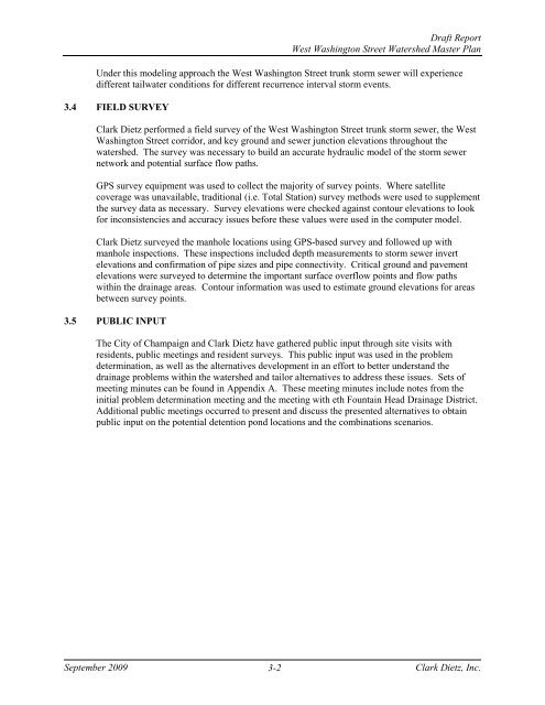
Draft Report<strong>West</strong> <strong>Washington</strong> <strong>Street</strong> Watershed Master PlanUnder this modeling approach the <strong>West</strong> <strong>Washington</strong> <strong>Street</strong> trunk storm sewer will experiencedifferent tailwater conditions for different recurrence interval storm events.3.4 FIELD SURVEYClark Dietz performed a field survey <strong>of</strong> the <strong>West</strong> <strong>Washington</strong> <strong>Street</strong> trunk storm sewer, the <strong>West</strong><strong>Washington</strong> <strong>Street</strong> corridor, and key ground and sewer junction elevations throughout the<strong>watershed</strong>. The survey was necessary to build an accurate hydraulic model <strong>of</strong> the storm sewernetwork and potential surface flow paths.GPS survey equipment was used to collect the majority <strong>of</strong> survey points. Where satellitecoverage was unavailable, traditional (i.e. Total Station) survey methods were used to supplementthe survey data as necessary. Survey elevations were checked against contour elevations to lookfor inconsistencies and accuracy issues before these values were used in the computer model.Clark Dietz surveyed the manhole locations using GPS-based survey and followed up withmanhole inspections. These inspections included depth measurements to storm sewer invertelevations and confirmation <strong>of</strong> pipe sizes and pipe connectivity. Critical ground and pavementelevations were surveyed to determine the important surface overflow points and flow pathswithin the drainage areas. Contour information was used to estimate ground elevations for areasbetween survey points.3.5 PUBLIC INPUTThe <strong>City</strong> <strong>of</strong> <strong>Champaign</strong> and Clark Dietz have gathered public input through site visits withresidents, public meetings and resident surveys. This public input was used in the problemdetermination, as well as the alternatives development in an effort to better understand thedrainage problems within the <strong>watershed</strong> and tailor alternatives to address these issues. Sets <strong>of</strong>meeting minutes can be found in Appendix A. These meeting minutes include notes from theinitial problem determination meeting and the meeting with eth Fountain Head Drainage District.Additional public meetings occurred to present and discuss the presented alternatives to obtainpublic input on the potential detention pond locations and the combinations scenarios.September 20093-2Clark Dietz, Inc.