

Bells Canyon - Utah Geological Survey
Bells Canyon - Utah Geological Survey
Bells Canyon - Utah Geological Survey

Create successful ePaper yourself
Turn your PDF publications into a flip-book with our unique Google optimized e-Paper software.
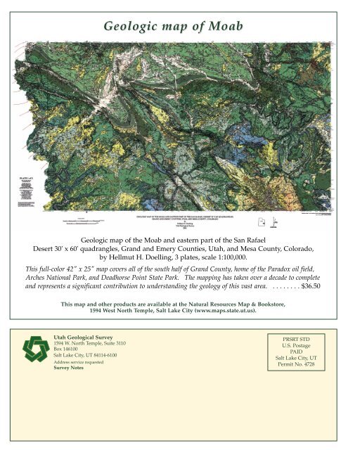
Geologic map of MoabGeologic map of the Moab and eastern part of the San RafaelDesert 30' x 60' quadrangles, Grand and Emery Counties, <strong>Utah</strong>, and Mesa County, Colorado,by Hellmut H. Doelling, 3 plates, scale 1:100,000.This full-color 42" x 25" map covers all of the south half of Grand County, home of the Paradox oil field,Arches National Park, and Deadhorse Point State Park. The mapping has taken over a decade to completeand represents a significant contribution to understanding the geology of this vast area. . . . . . . . . $36.50This map and other products are available at the Natural Resources Map & Bookstore,1594 West North Temple, Salt Lake City (www.maps.state.ut.us).<strong>Utah</strong> <strong>Geological</strong> <strong>Survey</strong>1594 W. North Temple, Suite 3110Box 146100Salt Lake City, UT 84114-6100Address service requested<strong>Survey</strong> NotesPRSRT STDU.S. PostagePAIDSalt Lake City, UTPermit No. 4728


