PHASE I ENVIRONMENTAL SITE ASSESSMENT Site 10 Croom ...
PHASE I ENVIRONMENTAL SITE ASSESSMENT Site 10 Croom ...
PHASE I ENVIRONMENTAL SITE ASSESSMENT Site 10 Croom ...
Create successful ePaper yourself
Turn your PDF publications into a flip-book with our unique Google optimized e-Paper software.
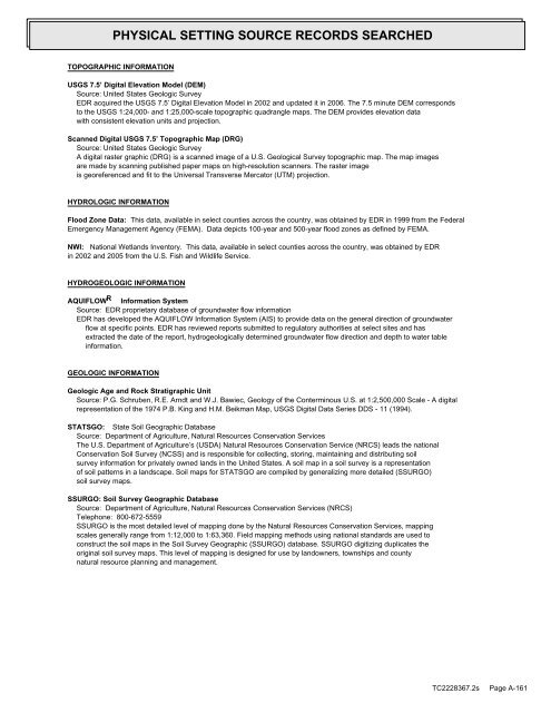
PHYSICAL SETTING SOURCE RECORDS SEARCHEDTOPOGRAPHIC INFORMATIONUSGS 7.5’ Digital Elevation Model (DEM)Source: United States Geologic SurveyEDR acquired the USGS 7.5’ Digital Elevation Model in 2002 and updated it in 2006. The 7.5 minute DEM correspondsto the USGS 1:24,000- and 1:25,000-scale topographic quadrangle maps. The DEM provides elevation datawith consistent elevation units and projection.Scanned Digital USGS 7.5’ Topographic Map (DRG)Source: United States Geologic SurveyA digital raster graphic (DRG) is a scanned image of a U.S. Geological Survey topographic map. The map imagesare made by scanning published paper maps on high-resolution scanners. The raster imageis georeferenced and fit to the Universal Transverse Mercator (UTM) projection.HYDROLOGIC INFORMATIONFlood Zone Data: This data, available in select counties across the country, was obtained by EDR in 1999 from the FederalEmergency Management Agency (FEMA). Data depicts <strong>10</strong>0-year and 500-year flood zones as defined by FEMA.NWI: National Wetlands Inventory. This data, available in select counties across the country, was obtained by EDRin 2002 and 2005 from the U.S. Fish and Wildlife Service.HYDROGEOLOGIC INFORMATIONAQUIFLOW R Information SystemSource: EDR proprietary database of groundwater flow informationEDR has developed the AQUIFLOW Information System (AIS) to provide data on the general direction of groundwaterflow at specific points. EDR has reviewed reports submitted to regulatory authorities at select sites and hasextracted the date of the report, hydrogeologically determined groundwater flow direction and depth to water tableinformation.GEOLOGIC INFORMATIONGeologic Age and Rock Stratigraphic UnitSource: P.G. Schruben, R.E. Arndt and W.J. Bawiec, Geology of the Conterminous U.S. at 1:2,500,000 Scale - A digitalrepresentation of the 1974 P.B. King and H.M. Beikman Map, USGS Digital Data Series DDS - 11 (1994).STATSGO: State Soil Geographic DatabaseSource: Department of Agriculture, Natural Resources Conservation ServicesThe U.S. Department of Agriculture’s (USDA) Natural Resources Conservation Service (NRCS) leads the nationalConservation Soil Survey (NCSS) and is responsible for collecting, storing, maintaining and distributing soilsurvey information for privately owned lands in the United States. A soil map in a soil survey is a representationof soil patterns in a landscape. Soil maps for STATSGO are compiled by generalizing more detailed (SSURGO)soil survey maps.SSURGO: Soil Survey Geographic DatabaseSource: Department of Agriculture, Natural Resources Conservation Services (NRCS)Telephone: 800-672-5559SSURGO is the most detailed level of mapping done by the Natural Resources Conservation Services, mappingscales generally range from 1:12,000 to 1:63,360. Field mapping methods using national standards are used toconstruct the soil maps in the Soil Survey Geographic (SSURGO) database. SSURGO digitizing duplicates theoriginal soil survey maps. This level of mapping is designed for use by landowners, townships and countynatural resource planning and management.TC2228367.2s Page A-161


