SMALL DAMS
SMALL DAMS - Comité Français des Barrages et Réservoirs
SMALL DAMS - Comité Français des Barrages et Réservoirs
- No tags were found...
You also want an ePaper? Increase the reach of your titles
YUMPU automatically turns print PDFs into web optimized ePapers that Google loves.
G eological and geotechnical studies<br />
50<br />
Methodology of the geological surface study<br />
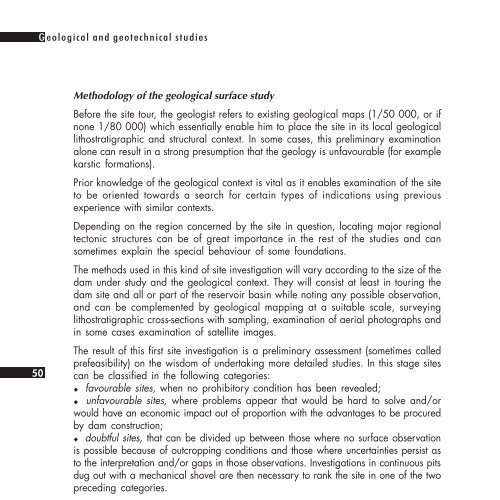
Before the site tour, the geologist refers to existing geological maps (1/50 000, or if<br />
none 1/80 000) which essentially enable him to place the site in its local geological<br />
lithostratigraphic and structural context. In some cases, this preliminary examination<br />
alone can result in a strong presumption that the geology is unfavourable (for example<br />
karstic formations).<br />
Prior knowledge of the geological context is vital as it enables examination of the site<br />
to be oriented towards a search for certain types of indications using previous<br />
experience with similar contexts.<br />
Depending on the region concerned by the site in question, locating major regional<br />
tectonic structures can be of great importance in the rest of the studies and can<br />
sometimes explain the special behaviour of some foundations.<br />
The methods used in this kind of site investigation will vary according to the size of the<br />
dam under study and the geological context. They will consist at least in touring the<br />
dam site and all or part of the reservoir basin while noting any possible observation,<br />
and can be complemented by geological mapping at a suitable scale, surveying<br />
lithostratigraphic cross-sections with sampling, examination of aerial photographs and<br />
in some cases examination of satellite images.<br />
The result of this first site investigation is a preliminary assessment (sometimes called<br />
prefeasibility) on the wisdom of undertaking more detailed studies. In this stage sites<br />
can be classified in the following categories:<br />
!" favourable sites, when no prohibitory condition has been revealed;<br />
!" unfavourable sites, where problems appear that would be hard to solve and/or<br />
would have an economic impact out of proportion with the advantages to be procured<br />
by dam construction;<br />
!" doubtful sites, that can be divided up between those where no surface observation<br />
is possible because of outcropping conditions and those where uncertainties persist as<br />
to the interpretation and/or gaps in those observations. Investigations in continuous pits<br />
dug out with a mechanical shovel are then necessary to rank the site in one of the two<br />
preceding categories.<br />
It is useful to record the observations made during this phase of study and the conclusions<br />
drawn from them on a summary sheet like the one given hereafter and proposed<br />
by B. COUTURIER 1 .<br />
In addition to filling in the data required in this sheet, sketching a rapid geological<br />
profile on the spot along the proposed dam axis is an opportunity for the geologist to<br />
express his vision of the site after these preliminary investigations. The geological<br />
cross-section should distinguish between observed facts, interpolation, and pure intuition,<br />
and will be more precise when outcropping conditions are good.<br />
1. See Bibliography, reference 3, p. 66.


