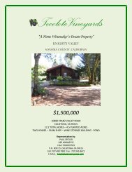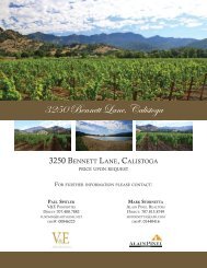
Nuns Canyon Vineyard
Nuns Canyon Vineyard - V&E Properties
Nuns Canyon Vineyard - V&E Properties

You also want an ePaper? Increase the reach of your titles
YUMPU automatically turns print PDFs into web optimized ePapers that Google loves.
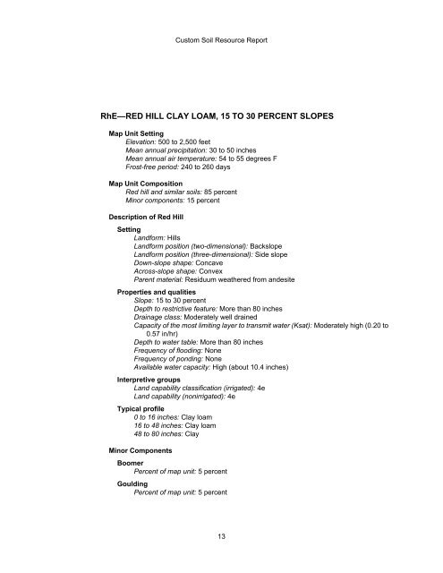
Custom Soil Resource Report<br />
RhE—RED HILL CLAY LOAM, 15 TO 30 PERCENT SLOPES<br />
Map Unit Setting<br />
Elevation: 500 to 2,500 feet<br />
Mean annual precipitation: 30 to 50 inches<br />
Mean annual air temperature: 54 to 55 degrees F<br />
Frost-free period: 240 to 260 days<br />
Map Unit Composition<br />
Red hill and similar soils: 85 percent<br />
Minor components: 15 percent<br />
Description of Red Hill<br />
Setting<br />
Landform: Hills<br />
Landform position (two-dimensional): Backslope<br />
Landform position (three-dimensional): Side slope<br />
Down-slope shape: Concave<br />
Across-slope shape: Convex<br />
Parent material: Residuum weathered from andesite<br />
Properties and qualities<br />
Slope: 15 to 30 percent<br />
Depth to restrictive feature: More than 80 inches<br />
Drainage class: Moderately well drained<br />
Capacity of the most limiting layer to transmit water (Ksat): Moderately high (0.20 to<br />
0.57 in/hr)<br />
Depth to water table: More than 80 inches<br />
Frequency of flooding: None<br />
Frequency of ponding: None<br />
Available water capacity: High (about 10.4 inches)<br />
Interpretive groups<br />
Land capability classification (irrigated): 4e<br />
Land capability (nonirrigated): 4e<br />
Typical profile<br />
0 to 16 inches: Clay loam<br />
16 to 48 inches: Clay loam<br />
48 to 80 inches: Clay<br />
Minor Components<br />
Boomer<br />
Percent of map unit: 5 percent<br />
Goulding<br />
Percent of map unit: 5 percent<br />
13