ENVIRONMENTAL ASSESSMENT CHARLOTTE GATEWAY STATION
ENVIRONMENTAL ASSESSMENT CHARLOTTE GATEWAY STATION
ENVIRONMENTAL ASSESSMENT CHARLOTTE GATEWAY STATION

Create successful ePaper yourself
Turn your PDF publications into a flip-book with our unique Google optimized e-Paper software.
2.3.1 Design Charette<br />
Public outreach and design activities for CGS occurred in two phases. Between 2000 and<br />
2002, NCDOT undertook an extensive effort to determine the feasibility of building a<br />
multimodal station at Trade Street and adding railroad trackage necessary to accommodate<br />
relocation to the Amtrak station and NCCR rail service. This work culminated in the 2002<br />
Feasibility Study for the Charlotte Multimodal Station and Area Track Improvements, which<br />
included site plan alternatives and an environmental overview. Over 70 outreach and<br />
coordination meets were held by NCDOT and CATS with local neighborhood associations,<br />
City, County and railroad officials, and other interested parties.<br />
In 2004, CATS implemented a second phase of the design and outreach work with the<br />
objective of developing a specific design concept for the multimodal station, now called<br />
Charlotte Gateway Station. Through the fall and early winter of 2004, discussions were held<br />
with state, city and county officials, the general community and other interested parties. A<br />
public meeting was held December 7, 2004 to solicit addition public comments.<br />
A design charette was conducted over a 3-day period from February 1-3, 2005. The<br />
charette included representatives of NCDOT; CATS; Charlotte DOT; Charlotte Planning and<br />
Engineering; Mecklenburg Planning Commission; Greyhound; Charlotte-Mecklenburg<br />
Police; representatives of the real estate development community and the Design Team.<br />
One significant change to the original planning assumptions resulted from the design<br />
charette process. To address office space requirements for both CATS and the State of<br />
North Carolina, approximately 100,000 square feet of office space was added to the station<br />
building. This had the added benefit of stimulating other private retail and mixed-use activity<br />
at the CGS site and providing more mass to the station building itself, bringing it more into<br />
compliance with NCDOT’s desire for a prominent visual presence.<br />
2.3.2 Design Concept<br />
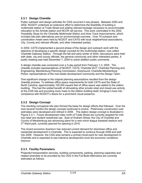
The resulting conceptual site plan formed the basis for design efforts that followed. Over the<br />
next several months the design concept continued to evolve. Preliminary construction cost<br />
estimates were developed and refined in 2006. The station design concept is illustrated in<br />
Figure 2.3-1. Future development sites north of Trade Street are currently targeted for midrise<br />
retail and student residential use. East of Graham Street, the City of Charlotte and<br />
County of Mecklenburg are advancing plans for a new minor league baseball stadium and<br />
3 rd Ward park, currently planned for opening in 2010.<br />
The recent economic downturn has reduced current demand for downtown office and<br />
residential development in Charlotte. This is expected to continue through 2008 and well<br />
into 2009. However, the CGS area remains a primary focal point for new development in<br />
Charlotte and is expected to see intensive development once the economic conditions<br />
improve.<br />
2.3.3 Facility Parameters<br />
Projected transportation services, building components, parking, planning capacities and<br />
related amenities to be provided by the CGS in the Full Build Alternative are currently<br />
estimated as follows:<br />
Charlotte Gateway Station 2.3-6<br />
EA