PACIFIC ISLANDS DIGITAL ELEVATION MODELS - NOAA National ...
PACIFIC ISLANDS DIGITAL ELEVATION MODELS - NOAA National ...
PACIFIC ISLANDS DIGITAL ELEVATION MODELS - NOAA National ...

Create successful ePaper yourself
Turn your PDF publications into a flip-book with our unique Google optimized e-Paper software.
© 2011 Google<br />
<strong>NOAA</strong> Knows...<br />
Who Provided the Data?<br />
- <strong>NOAA</strong> <strong>National</strong> Ocean Service (NOS)<br />
- <strong>NOAA</strong> Coastal Services Center (CSC)<br />
- <strong>NOAA</strong> <strong>National</strong> Geophysical Data Center (NGDC)<br />
- U.S. Geological Survey (USGS)<br />
- <strong>National</strong> Geospatial-Intelligence Agency (NGA)<br />
- Joint Airborne LiDAR Bathymetry Technical<br />
Center of Expertise (JALBTCX)<br />
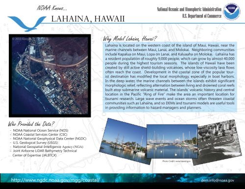
LAHAINA, HAWAII<br />
Why Model Lahaina, Hawaii?<br />
<strong>National</strong> Oceanic and Atmospheric Administration<br />
U.S. Department of Commerce<br />
Lahaina is located on the western coast of the island of Maui, Hawaii, near the<br />
marine channels between Maui, Lanai, and Molokai. Neighboring communities<br />
include Kapalua on Maui, Lopa on Lanai, and Kaluaaha on Molokai. Lahaina has<br />
a resident population of roughly 9,000 people, which can grow by almost 40,000<br />
people during the highest tourism seasons. The islands of Hawaii have been<br />
created by still active shield-building volcanoes, whose low-viscosity lava fl ows<br />
often reach the coast. Development in the coastal zone of the popular tourist<br />
destination has modifi ed the local morphology, especially in boat harbors.<br />
In the deep water, the marine channels between the islands exhibit signifi cant<br />
morphologic relief, refl ecting alternation between living and drowned coral reefs<br />
built atop submarine volcanic material. The islands’ volcanic history and central<br />
location in the Pacifi c “Ring of Fire” make the area an important location for<br />
tsunami research. Large wave events and ocean storms often threaten coastal<br />
communities such as Lahaina, and so DEMs and tsunami models are useful tools<br />
in providing information to hazard managers and planners.<br />
Photo Credit: www.hawaii.gov<br />
http://www.ngdc.noaa.gov/mgg/coastal/ dem.info@noaa.gov