APPENDIX D Cultural Resources Survey Report - US Environmental ...
APPENDIX D Cultural Resources Survey Report - US Environmental ...
APPENDIX D Cultural Resources Survey Report - US Environmental ...
You also want an ePaper? Increase the reach of your titles
YUMPU automatically turns print PDFs into web optimized ePapers that Google loves.
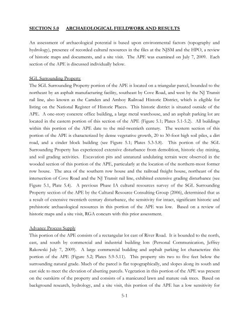
SECTION 5.0 ARCHAEOLOGICAL FIELDWORK AND RESULTS<br />
An assessment of archaeological potential is based upon environmental factors (topography and<br />
hydrology), presence of recorded cultural resources in the files at the NJSM and the HPO, a review<br />
of historic maps and documents, and a site visit. The APE was examined on July 7, 2009. Each<br />
section of the APE is discussed individually below.<br />
SGL Surrounding Property<br />
The SGL Surrounding Property portion of the APE is located on a triangular parcel, bounded to the<br />
northeast by an asphalt manufacturing facility, southeast by Cove Road, and west by the NJ Transit<br />
rail line, also known as the Camden and Amboy Railroad Historic District, which is eligible for<br />
listing on the National Register of Historic Places. This historic district is situated outside of the<br />
APE. A one-story concrete office building, a large metal warehouse, and an asphalt parking lot are<br />
located in the eastern portion of this section of the APE (Figure 5.1; Plates 5.1-5.2). All buildings<br />
within this portion of the APE date to the mid-twentieth century. The western section of this<br />
portion of the APE is characterized by dense vegetative growth, 20 to 30-foot high soil piles, a dirt<br />
road, and a cinder block building (see Figure 5.1; Plates 5.3-5.8). This portion of the SGL<br />
Surrounding Property has experienced extensive disturbance from demolition, historic clay mining,<br />
and soil grading activities. Excavation pits and unnatural undulating terrain were observed in the<br />
wooded section of this portion of the APE, particularly at the location of the northern-most former<br />
row house. The area of the southern row house and the railroad freight house, northeast of the<br />
intersection of Cove Road and the NJ Transit rail line, exhibited extensive grading disturbance (see<br />
Figure 5.1, Plate 5.4). A previous Phase IA cultural resources survey of the SGL Surrounding<br />
Property section of the APE by the <strong>Cultural</strong> Resource Consulting Group (2006), determined that as<br />
a result of extensive twentieth century disturbance, the sensitivity for intact, significant historic and<br />
prehistoric archaeological resources in this portion of the APE was low. Based on a review of<br />
historic maps and a site visit, RGA concurs with this prior assessment.<br />
Advance Process Supply<br />
This portion of the APE consists of a rectangular lot east of River Road. It is bounded to the north,<br />
east, and south by commercial and industrial building lots (Personal Communication, Jeffrey<br />
Rakowski July 7, 2009). A large commercial building and asphalt parking lot characterize this<br />
portion of the APE (Figure 5.2; Plates 5.9-5.11). This property sits two to five feet below the<br />
surrounding natural grade. Much of the parcel is flat topographically, and slopes along its south and<br />
east side to meet the elevation of abutting parcels. Vegetation in this portion of the APE was present<br />
on the outskirts of the property and consists of a manicured lawn and mature oak trees. Based on<br />
background research, hydrology, and a site visit, this portion of the APE has a low sensitivity for<br />
5-1


