APPENDIX D Cultural Resources Survey Report - US Environmental ...
APPENDIX D Cultural Resources Survey Report - US Environmental ...
APPENDIX D Cultural Resources Survey Report - US Environmental ...
Create successful ePaper yourself
Turn your PDF publications into a flip-book with our unique Google optimized e-Paper software.
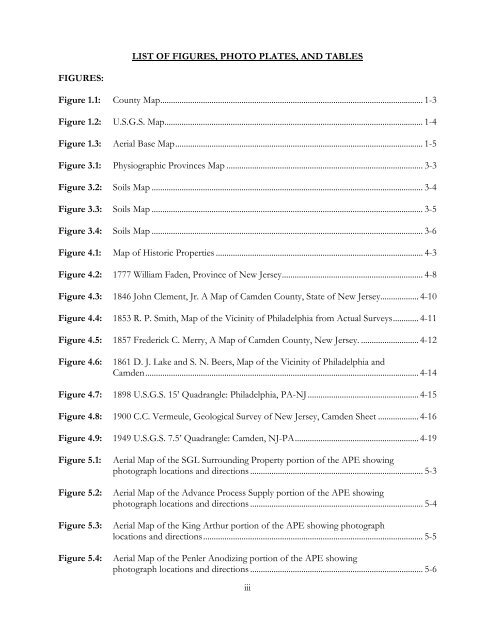
FIGURES:<br />
LIST OF FIGURES, PHOTO PLATES, AND TABLES<br />
Figure 1.1: County Map ........................................................................................................................... 1-3<br />
Figure 1.2: U.S.G.S. Map ......................................................................................................................... 1-4<br />
Figure 1.3: Aerial Base Map .................................................................................................................... 1-5<br />
Figure 3.1: Physiographic Provinces Map ............................................................................................ 3-3<br />
Figure 3.2: Soils Map ............................................................................................................................... 3-4<br />
Figure 3.3: Soils Map ............................................................................................................................... 3-5<br />
Figure 3.4: Soils Map ............................................................................................................................... 3-6<br />
Figure 4.1: Map of Historic Properties ................................................................................................. 4-3<br />
Figure 4.2: 1777 William Faden, Province of New Jersey .................................................................. 4-8<br />
Figure 4.3: 1846 John Clement, Jr. A Map of Camden County, State of New Jersey.................. 4-10<br />
Figure 4.4: 1853 R. P. Smith, Map of the Vicinity of Philadelphia from Actual <strong>Survey</strong>s ............ 4-11<br />
Figure 4.5: 1857 Frederick C. Merry, A Map of Camden County, New Jersey. ........................... 4-12<br />
Figure 4.6: 1861 D. J. Lake and S. N. Beers, Map of the Vicinity of Philadelphia and<br />
Camden ................................................................................................................................ 4-14<br />
Figure 4.7: 1898 U.S.G.S. 15’ Quadrangle: Philadelphia, PA-NJ .................................................... 4-15<br />
Figure 4.8: 1900 C.C. Vermeule, Geological <strong>Survey</strong> of New Jersey, Camden Sheet ................... 4-16<br />
Figure 4.9: 1949 U.S.G.S. 7.5’ Quadrangle: Camden, NJ-PA .......................................................... 4-19<br />
Figure 5.1: Aerial Map of the SGL Surrounding Property portion of the APE showing<br />
photograph locations and directions ................................................................................. 5-3<br />
Figure 5.2: Aerial Map of the Advance Process Supply portion of the APE showing<br />
photograph locations and directions ................................................................................. 5-4<br />
Figure 5.3: Aerial Map of the King Arthur portion of the APE showing photograph<br />
locations and directions ....................................................................................................... 5-5<br />
Figure 5.4: Aerial Map of the Penler Anodizing portion of the APE showing<br />
photograph locations and directions ................................................................................. 5-6<br />
iii


