BALTICA16 - Klaipėdos universitetas
BALTICA16 - Klaipėdos universitetas
BALTICA16 - Klaipėdos universitetas

You also want an ePaper? Increase the reach of your titles
YUMPU automatically turns print PDFs into web optimized ePapers that Google loves.
New Data on Palanga<br />
Stone Age Settlement<br />
ALGIRDAS<br />
GIRININKAS<br />
50<br />
1.8 to 2.7 metres thick, there is a layer of peaty sand<br />
and peat. Under this layer, at a depth of 2.7 to 2.9 metres,<br />
there are deposits of sandy sapropel containing the<br />
remains of trees and grass. The peat taken for radioisotope<br />
analysis from a depth of 2.75 to 2.9 metres (the<br />
bottom layer of peat) is dated (Vs1290) 3600±60 BP<br />
(2010BC) (Satkūnas, Bitinas 2004). 1<br />
According to data from the State Geological Information<br />
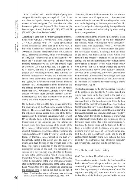
System (GEOLIS), borehole No 10449 (longitude<br />
21º 3’ 52.7’’, latitude 55º 54’ 59.1’’) (Fig. 1) was drilled<br />
on the left-hand side of the bank of the River Rąžė, in<br />
the centre of the town of Palanga, at a distance of about<br />
300 metres southeast of the intersection of S. Daukanto<br />
and J. Basanavičiaus streets, which were investigated<br />
in 1958, and 75 metres west of the intersection of Vytauto<br />
and J. Basanavičiaus streets. The data obtained<br />
from the borehole shows that there are deposits of grit<br />
at a depth of 0.6 to 1.8 metres, clay at a depth of 1.8<br />
to 3.4 metres, and then, at a greater depth, deposits of<br />
greyish clay containing boulders. This indicates that<br />
from the intersection of Vytauto and J. Basanavičiaus<br />
streets to the point where the River Rąžė flowed into<br />
the lagoon, the river flowed round moraine from the<br />
southern side. This fact leads us to the assumption that<br />
the cobbled pavement found under a layer of peat as<br />
mentioned in O. Navickaitė-Kuncienė’s report might<br />
actually be stones from undercut moraine. The moraine<br />
might also have been undercut by the Baltic Sea<br />
during one of the littoral transgressions.<br />
On the basis of the available data, we can reconstruct<br />
the environment of the Palanga Stone Age settlement<br />
(Fig. 2). The geological data available indicates that<br />
the settlement existed during the period of the former<br />
regression of the Limnaean Sea, around 4,200 to 4,000<br />
BP, or slightly later, at the beginning of the second<br />
transgression of the Limnaean Sea. The Palanga settlement<br />
might have been situated at the mouth of the<br />
River Rąžė, or not far from it, next to the edge of a moraine<br />
hill bordering a small lagoon lake. The latter lake<br />
was characterised by a wide diversity of lake flora and<br />
fauna. By that time, the accumulation of a peat layer<br />
had already started in the lagoon lake. The peat layer<br />
might have been thickest in the western part of the<br />
lake. This claim is supported by the aforementioned<br />
radiocarbon dating of the peat. The settlement was<br />
situated in a more ancient site, inhabited by humans<br />
as early as the Late Mesolithic Period. During the Late<br />
Mesolithic Period, the terrace slope of the Littorina Sea<br />
within the boundaries of the town of Palanga was situated<br />
not far from the terrace slope of the Baltic Glacial<br />
Lake. Within this strip, the Littoral Sea accumulated<br />
the moraine formed during the post-glacial period.<br />
1 14 Peat C radiocarbon dating calibration was performed<br />
after M. Stuiver and P.J. Reimer (1998, pp.1022-1030).<br />
Therefore, the Mesolithic settlement that was situated<br />
at the intersection of Vytauto and J. Basanavičiaus<br />
streets and on the moraine hill extending farther to the<br />
west at the beginning of the transgression of the Littorina<br />
Sea might have been partially destroyed by the<br />
process of erosion and undercutting by water during<br />
littoral transgressions.<br />
The interpretation of the archaeological material is also<br />
complicated, because first of all we must reconstruct<br />
the situation, which would explain where the archaeological<br />
finds were discovered. From O. Navickaitė’s<br />
notes (Navickaitė 1958), it becomes clear that part of<br />
the osteological material, including a horn axe made<br />
of elk antler, was found among stones, which were<br />
formed in the process of moraine erosion and undercutting.<br />
The flint artefacts must have been found in the<br />
lower part of the layer of stones, which was in contact<br />
with alluvial sand. All the latter artefacts are dated to<br />
the Late Mesolithic Period. In the course of the reconstruction<br />
of the stratigraphy, it becomes clear that the<br />
finds from the Late Mesolithic Period might have been<br />
found among and under stones, as the Late Mesolithic<br />
settlement was undercut by water during a littoral<br />
transgression (Fig. 3).<br />
The finds discovered by the aforementioned researcher<br />
of the settlement and dated to the Neolithic period, and<br />
which were found in the lower part of the peat layer<br />
above the remains of undercut moraine, might have<br />
appeared there in the transition period from the Late<br />
Neolithic to the Early Bronze Age. Finds from the Late<br />
Neolithic and the Early Bronze Period, as well as quite<br />
large pieces of natural amber, might have appeared in<br />
the recently formed lagoon and on the bank of the River<br />
Rąžė, which flowed into the lagoon, at a time when<br />
the water level became higher and the process of peat<br />
formation began at the edge of the former moraine. At<br />
that time, the lagoon shore and the banks of the River<br />
Rąžė, which flowed into the lagoon, were convenient<br />
dwelling sites. Four pieces of log with trimmed ends<br />
(3.2, 1.6, 0.9 and 0.6 metres in length, and 30 and 15<br />
centimetres in diameter) found there indicate that there<br />
might have been structures built of timber, but undercut<br />
by water at a later time, standing in that place.<br />
The finds and their dating<br />
Finds from the Late Mesolithic settlement<br />
There are six flint artefacts dated to the Late Mesolithic<br />
Period. One of them belongs to the lower part of a cone<br />
crusher (Fig. 4:3), whereas the remaining artefacts are<br />
made from regular-shaped blades or parts of them. The<br />
angular cutter (Fig. 4.1) was made from a part of a<br />
broken blade. Only the lower parts of the blades were