Wetland I.D. Guide - Island County Government
Wetland I.D. Guide - Island County Government
Wetland I.D. Guide - Island County Government

Create successful ePaper yourself
Turn your PDF publications into a flip-book with our unique Google optimized e-Paper software.
Introduction 1<br />
Non-Native Vegetation 4<br />
Field Indicators <strong>Guide</strong><br />
•<br />
•<br />
•<br />
Contents<br />
Working With This <strong>Guide</strong> 2<br />
<strong>Wetland</strong>s 101 3<br />
<strong>Wetland</strong> Buffers 5<br />
About the Field Indicators 6<br />
Worksheet<br />
Hydrology 7-9<br />
Vegetation 10-20<br />
Soil 21<br />
Field Indicators Worksheet FIW:1-4<br />
Land Use Intensity Worksheet LUIW:1-3<br />
<strong>Wetland</strong> Buffer Worksheet WBW:1-9<br />
1<br />
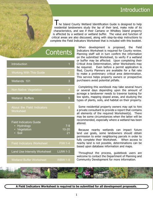
Introduction<br />
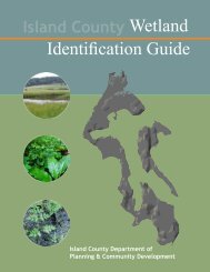
The <strong>Island</strong> <strong>County</strong> <strong>Wetland</strong> Identification <strong>Guide</strong> is designed to help<br />
residential landowners study the lay of their land, make note of its<br />
characteristics, and see if their Camano or Whidbey <strong>Island</strong> property<br />
is affected by a wetland or wetland buffer. The value and function of<br />
critical areas are also discussed, along with step-by-step instructions to<br />
complete the Field Indicators Worksheet that is included with this booklet.<br />
When development is proposed, the Field<br />
Indicators Worksheet is required for <strong>County</strong> review.<br />
Planning staff will in turn confirm the information<br />
on the submitted Worksheet, to verify if a wetland<br />
or buffer may be affected. Upon completing their<br />
Critical Area Determination, other Worksheets may<br />
be required. Even before a permit application is<br />
filed, <strong>County</strong> Planners are available for a flat rate<br />
to make a preliminary critical area determination.<br />
This service helps property owners or prospective<br />
purchasers avoid potential pitfalls.<br />
Completing this workbook may take several hours<br />
or several days depending upon the amount of<br />
acreage a landowner needs to traverse looking for<br />
low spots, mapping sloped areas, and studying the<br />
types of plants, soils, and habitat on their property.<br />
Some residential property owners may opt to hire<br />
a private consultant to provide a report that contains<br />
all elements of the required Worksheet(s). There<br />
may be some circumstances when the latter will be<br />
recommended, especially where a wetland has been<br />
altered.<br />
Because nearby wetlands can impact future<br />
land use goals, some landowners should obtain<br />
permission to enter neighboring parcels in order to<br />
fully complete their Worksheet. When access to<br />
nearby land is not possible, determinations can be<br />
based upon database information and maps.<br />
Throughout the process, guidebook users are<br />
welcome to contact the Department of Planning and<br />
Community Development for more information.<br />
A Field Indicators Worksheet is required to be submitted for all development proposals.