

GPR for river dyke - GSB
GPR for river dyke - GSB
GPR for river dyke - GSB

You also want an ePaper? Increase the reach of your titles
YUMPU automatically turns print PDFs into web optimized ePapers that Google loves.
1 Introduction<br />
The Geological Survey of Bangladesh (<strong>GSB</strong>) and the Norwegian Geotechnical (NGI)<br />
Institute are co-operating in an institutional co-operation project titled “Geodisaster Risk<br />
Reduction in Bangladesh”. In this project, one of the key Tasks is to build-up capacity at<br />
<strong>GSB</strong> in using advanced geophysical tools <strong>for</strong> investigation of <strong>river</strong> <strong>dyke</strong>s in Dhaka. The main<br />
goal of the project is to reduce the risks from natural hazards in Bangladesh by increasing<br />
the capacity of <strong>GSB</strong> through collaborative pilot project studies.<br />
Ground penetrating Radar is a useful tool <strong>for</strong> geophysical survey, which can be used to<br />
detect locations and extents of weak zone areas of a <strong>river</strong> <strong>dyke</strong>. Hence building up the<br />
ability <strong>for</strong> <strong>GSB</strong> personnel to use <strong>GPR</strong> <strong>for</strong> <strong>river</strong> <strong>dyke</strong> controlling becomes an important topic<br />
of this co-operation project. <strong>GSB</strong> personnel were trained at NGI in Norway July last year<br />
(2010) on how to use the NGI <strong>GPR</strong>. In March 2011 an on site training in Dhaka, Bangladesh<br />
took place.<br />
<strong>GSB</strong> personnel have the background of per<strong>for</strong>ming seismic survey. <strong>GPR</strong> has similar record<br />
as seismic survey. The main difference between <strong>GPR</strong> and seismic methods is that seismic<br />
reflection comes from a boundary where there is an acoustic impedance contrast and in the<br />
case of <strong>GPR</strong> the reflection comes from a boundary where there is a dielectric constant<br />
contrast. So the geoscientists of <strong>GSB</strong> are trying to extrapolate their knowledge from their<br />
training and seismic survey experience to <strong>GPR</strong> because in both cases the data (<strong>GPR</strong> &<br />
seismic) have similar 2D view. However, in seismic reflection method, the depth of<br />
penetration is very large so the geoscientists think about gross lithology but in case of <strong>GPR</strong><br />
they have to think very minutely about the lithology and other variation within a very shallow<br />
depth in the range of 10 m. For any geophysical methods, the detection resolution is a<br />
portion (<strong>for</strong> example, one tenth) of the test distance. There<strong>for</strong>e, <strong>GPR</strong> normally gives<br />
detection results with much higher resolution than the seismic method. The other<br />
advantages of using <strong>GPR</strong> are that <strong>for</strong> detection using electromagnetic wave, the sensors (or<br />
antennas) do not need to have good contact with the ground, which enables a fast survey<br />
speed, and that the <strong>GPR</strong> signal is generated by electronics, and is coherent and repetitive,<br />
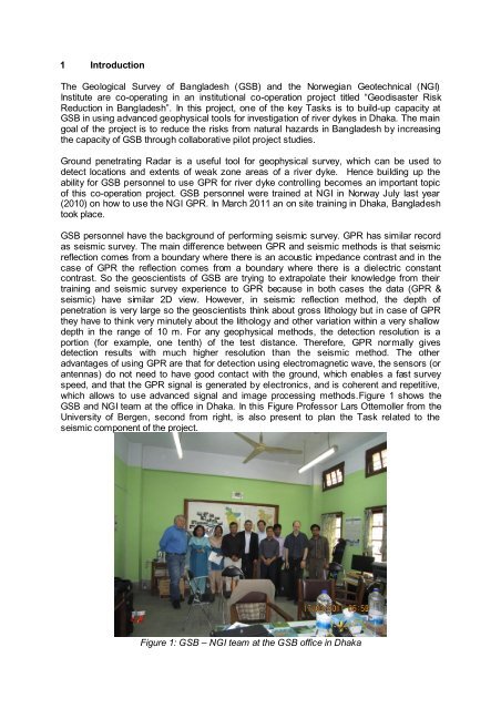
which allows to use advanced signal and image processing methods.Figure 1 shows the<br />
<strong>GSB</strong> and NGI team at the office in Dhaka. In this Figure Professor Lars Ottemoller from the<br />
University of Bergen, second from right, is also present to plan the Task related to the<br />
seismic component of the project.<br />
Figure 1: <strong>GSB</strong> – NGI team at the <strong>GSB</strong> office in Dhaka