Spatial dynamics of teak defoliator (Hyblaea puera Cramer) - Cochin ...
Spatial dynamics of teak defoliator (Hyblaea puera Cramer) - Cochin ...
Spatial dynamics of teak defoliator (Hyblaea puera Cramer) - Cochin ...

Create successful ePaper yourself
Turn your PDF publications into a flip-book with our unique Google optimized e-Paper software.
within these various spatially referenced data themes. The s<strong>of</strong>tware used was<br />
ARC/INFO in a UNIX platform. The methods used to prepare the maps and the<br />
procedure <strong>of</strong>analysis are given below.<br />
4.2.1 Preparation <strong>of</strong>maps<br />
4.2.1.1 Outbreak maps<br />
Defoliator outbreaks were mapped in the scale 1:50,000 as described in Chapter 3.<br />
These maps were digitized in individual layers <strong>of</strong>the GIS database. To understand<br />
the frequency <strong>of</strong> <strong>defoliator</strong> outbreaks in different sites within the study area, all<br />
the defoliation maps <strong>of</strong> a particular year were overlaid to produce a composite<br />
map. Information on the number <strong>of</strong>times that a particular site was under outbreak<br />
was generated in the database <strong>of</strong>the composite map. This information was used to<br />
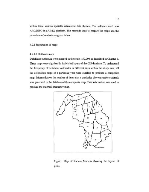
produce the outbreak frequency map.<br />
FigA.1. Map <strong>of</strong> Kariem Muriem showing the layout <strong>of</strong><br />
grids.<br />
17