

Download - Coordinates
Download - Coordinates
Download - Coordinates

You also want an ePaper? Increase the reach of your titles
YUMPU automatically turns print PDFs into web optimized ePapers that Google loves.
GNSS<br />
The importance of mitigation of<br />
GNSS vulnerabilities and risks<br />
Growing number of technological and socio-economic systems relies upon satellite<br />
navigation, making it a backbone component of national infrastructure. Mitigation of<br />
GNSS vulnerabilities and risks has become a mandatory task not only for GNSS operators<br />
and national authorities, but for a wide range of GNSS stakeholders and users<br />
Renato Filjar, FRIN MIET<br />
Research Engineer,<br />
Ericsson Nikola Tesla,<br />
Zagreb, Croatia External<br />
Associate Professor,<br />
Faculty of Maritime<br />
Studies, University<br />
of Rijeka, Croatia<br />
Darko Huljeni<br />
Ericsson Nikola Tesla,<br />
Zagreb, Croatia<br />
External Assistant<br />
Professor, Faculty of<br />
Electrical Engineering and<br />
Computing, University<br />
of Zagreb, Croatia<br />
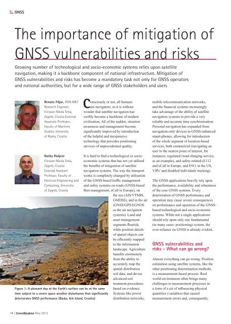
Figure 1: A pleasant day at the Earth’s surface can be at the same<br />
time subject to a severe space weather disturbance that signifi cantly<br />
deteriorates GNSS performance (Baska, Krk Island, Croatia)<br />
14 | <strong>Coordinates</strong> May 2012<br />
Consciously or not, all humans<br />
are navigators, so it is without<br />
wonder that satellite navigation has<br />
swiftly become a backbone of modern<br />
civilisation. All of the sudden, situation<br />
awareness and management become<br />
signi cantly improved by introduction<br />
of the helpful and inexpensive<br />
technology that provides positioning<br />
services of unprecedented quality.<br />
It is hard to nd a technological or socioeconomic<br />
systems that has not yet utilised<br />
the bene ts of integration of satellite<br />
navigation systems. The way the transport<br />
works is completely changed by utilisation<br />
of the GNSS-based traf c management<br />
and safety systems on roads (GNSS-based<br />
eet management, eCall in Europe), on<br />
the sea (AIS/VTMIS,<br />
GMDSS), and in the air<br />
(GNSS/GPS/EGNOS<br />
as the air navigation<br />
systems). Land and<br />
asset management<br />
segments ourish,<br />
while position details<br />
of spatial objects can<br />
be ef ciently mapped<br />
to the information<br />
landscape. Agriculture<br />
bene ts enormously<br />
from the ability to<br />
accurately map the<br />
spatial distribution<br />
soil data, and devise<br />
advanced soil<br />
treatment procedures<br />
based on evidence.<br />
Systems like power<br />
distribution networks,<br />
mobile telecommunication networks,<br />
and the nancial systems increasingly<br />
take advantage of the ability of satellite<br />
navigation systems to provide a very<br />
reliable and accurate time synchronisation.<br />
Personal navigation has expanded from<br />
navigation-only devices to GNSS-enhanced<br />
smart-phones, allowing for introduction<br />
of the whole segment of location-based<br />
services, both commercial (navigating an<br />
user to the nearest point of interest, for<br />
instance), regulated (road charging service,<br />
as an example), and safety-related (E112<br />
and eCall in Europe, and E911 in the US,<br />
VIPs’ and disabled individuals tracking).<br />
The GNSS applications heavily rely upon<br />
the performance, availability and robustness<br />
of the core GNSS systems. Every<br />
deterioration of GNSS performance and<br />
operation may cause severe consequences<br />
on performance and operation of the GNSSbased<br />
technological and socio-economic<br />
systems. While not a single applications<br />
should rely upon only one fundamental<br />
(in many cases: positioning) system, the<br />
over-reliance on GNSS is already evident.<br />
GNSS vulnerabilities and<br />
risks - What can go wrong?<br />
Almost everything can go wrong. Position<br />
estimation using satellite systems, like the<br />
other positioning determination methods,<br />
is a measurement-based process. Real<br />
world environment often brings many<br />
challenges to measurement processes in<br />
a form of a set of in uencing physical<br />
quantities (variables) that caused<br />
measurement errors and, consequently,


