Biophysical Survey of Mafia Island Marine Reserves
Biophysical Survey of Mafia Island Marine Reserves
Biophysical Survey of Mafia Island Marine Reserves
You also want an ePaper? Increase the reach of your titles
YUMPU automatically turns print PDFs into web optimized ePapers that Google loves.
damage at present, but if further use is made <strong>of</strong> the island, monitoring needs to be<br />
put in place to ensure that run-<strong>of</strong>f <strong>of</strong> pollutants does not cause greater problems.<br />
• The use <strong>of</strong> the island and reef sites by fishermen engaged in commercial lobster<br />
fishing needs to be monitored to ensure that fishing levels do not exceed<br />
sustainable levels.<br />
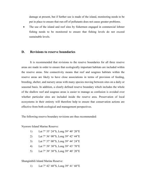
D. Revisions to reserve boundaries<br />
It is recommended that revisions to the reserve boundaries for all three reserve<br />
areas are made in order to ensure that ecologically important habitats are included within<br />
the reserve areas. Site connectivity means that reef and seagrass habitats within the<br />
reserve areas are likely to have close associations in terms <strong>of</strong> provision <strong>of</strong> feeding,<br />
breeding, shelter, and nursery areas with many species moving between sites on a daily or<br />
seasonal basis. In addition, a clearly defined reserve boundary which includes the whole<br />
<strong>of</strong> the shallow reef and seagrass areas is easier to manage as confusion is avoided over<br />
whether particular sites are included inside the reserve area. Preservation <strong>of</strong> local<br />
ecosystems in their entirety will therefore help to ensure that conservation actions are<br />
effective from both ecological and management perspectives.<br />
The following reserve boundary revisions are thus recommended:<br />
Nyororo <strong>Island</strong> <strong>Marine</strong> Reserve:<br />
1) Lat 7° 35’ 24”S, Long 39° 40’ 20”E<br />
2) Lat 7° 36’ 00”S, Long 39° 42’ 44”E<br />
3) Lat 7° 37’ 00”S, Long 39° 44’ 24”E<br />
4) Lat 7° 39’ 30”S, Long 39° 43’ 70”E<br />
5) Lat 7° 39’ 30”S, Long 39° 40’ 20”E<br />
Shungimbili <strong>Island</strong> <strong>Marine</strong> Reserve:<br />
1) Lat 7° 42’ 60”S, Long 39° 41’ 60”E


