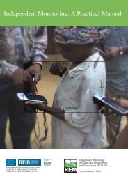
Using GPS - Forests Monitor
Using GPS - Forests Monitor
Using GPS - Forests Monitor

You also want an ePaper? Increase the reach of your titles
YUMPU automatically turns print PDFs into web optimized ePapers that Google loves.
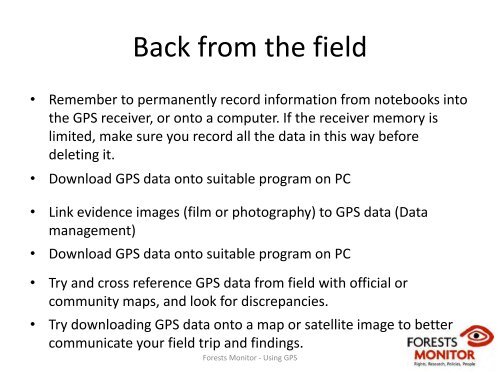
Back from the field<br />
• Remember to permanently record information from notebooks into<br />
the <strong>GPS</strong> receiver, or onto a computer. If the receiver memory is<br />
limited, make sure you record all the data in this way before<br />
deleting it.<br />
• Download <strong>GPS</strong> data onto suitable program on PC<br />
• Link evidence images (film or photography) to <strong>GPS</strong> data (Data<br />
management)<br />
• Download <strong>GPS</strong> data onto suitable program on PC<br />
• Try and cross reference <strong>GPS</strong> data from field with official or<br />
community maps, and look for discrepancies.<br />
• Try downloading <strong>GPS</strong> data onto a map or satellite image to better<br />
communicate your field trip and findings.<br />
<strong>Forests</strong> <strong>Monitor</strong> ‐ <strong>Using</strong> <strong>GPS</strong>