


Create successful ePaper yourself
Turn your PDF publications into a flip-book with our unique Google optimized e-Paper software.
By: Steven J. Martin, PLS<br />
Steve Martin is currently the Survey Supervisor for the East Bay<br />
Municipal Utility District (EBMUD), headquartered in Oakland, CA.<br />
Prior to accepting the position at EBMUD, Mr. Martin was employed<br />
by the County of San Diego in increasingly responsible roles spanning<br />
17 1/2 years. He started his Survey career in 1988 while employed by<br />
the City of San Diego as the 4th man on a Survey crew, a position<br />
called “Engineer Trainee”. He has been licensed since 1996 and a<br />
<strong>CLSA</strong> member since 1990.<br />
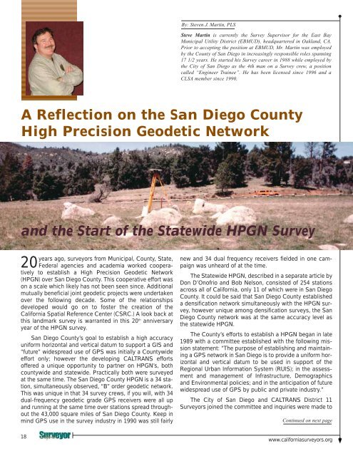
A Reflection on the San Diego County<br />
High Precision Geodetic Network<br />
and the Start of the Statewide HPGN Survey<br />
years ago, surveyors from Municipal, County, State,<br />
20 Federal agencies and academia worked cooperatively<br />
to establish a High Precision Geodetic Network<br />
(HPGN) over San Diego County. This cooperative effort was<br />
on a scale which likely has not been seen since. Additional<br />
mutually beneficial joint geodetic projects were undertaken<br />
over the following decade. Some of the relationships<br />
developed would go on to foster the creation of the<br />
California Spatial Reference Center (CSRC.) A look back at<br />
this landmark survey is warranted in this 20 th anniversary<br />
year of the HPGN survey.<br />
San Diego County’s goal to establish a high accuracy<br />
uniform horizontal and vertical datum to support a GIS and<br />
“future” widespread use of GPS was initially a Countywide<br />
effort only; however the developing CALTRANS efforts<br />
offered a unique opportunity to partner on HPGN’s, both<br />
countywide and statewide. Practically both were surveyed<br />
at the same time. The San Diego County HPGN is a 34 station,<br />
simultaneously observed, “B” order geodetic network.<br />
This was unique in that 34 survey crews, if you will, with 34<br />
dual-frequency geodetic grade GPS receivers were all up<br />
and running at the same time over stations spread throughout<br />
the 43,000 square miles of San Diego County. Keep in<br />
mind GPS use in the survey industry in 1990 was still fairly<br />
new and 34 dual frequency receivers fielded in one campaign<br />
was unheard of at the time.<br />
The Statewide HPGN, described in a separate article by<br />
Don D’Onofrio and Bob Nelson, consisted of 254 stations<br />
across all of California, only 11 of which were in San Diego<br />
County. It could be said that San Diego County established<br />
a densification network simultaneously with the HPGN survey,<br />
however unique among densification surveys, the San<br />
Diego County network was at the same accuracy level as<br />
the statewide HPGN.<br />
The County’s efforts to establish a HPGN began in late<br />
1989 with a committee established with the following mission<br />
statement: “The purpose of establishing and maintaining<br />
a GPS network in San Diego is to provide a uniform horizontal<br />
and vertical datum to be used in support of the<br />
Regional Urban Information System (RUIS); in the assessment<br />
and management of Infrastructure, Demographics<br />
and Environmental policies; and in the anticipation of future<br />
widespread use of GPS by public and private industry.”<br />
The City of San Diego and CALTRANS District 11<br />
Surveyors joined the committee and inquiries were made to<br />
Continued on next page<br />
18<br />
www.californiasurveyors.org


