


Create successful ePaper yourself
Turn your PDF publications into a flip-book with our unique Google optimized e-Paper software.
Continued from previous page<br />
A Reflection on the San Diego County High Precision Geodetic Network<br />
and the Start of the Statewide HPGN Survey<br />
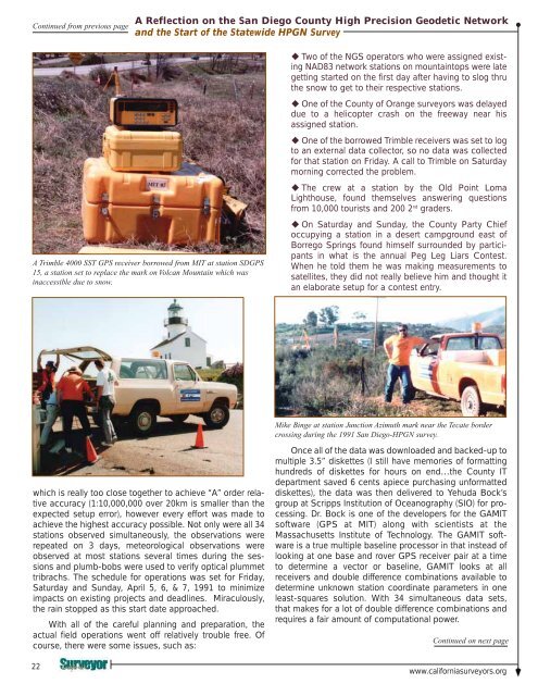
A Trimble 4000 SST GPS receiver borrowed from MIT at station SDGPS<br />
15, a station set to replace the mark on Volcan Mountain which was<br />
inaccessible due to snow.<br />
Two of the NGS operators who were assigned existing<br />
NAD83 network stations on mountaintops were late<br />
getting started on the first day after having to slog thru<br />
the snow to get to their respective stations.<br />
One of the County of Orange surveyors was delayed<br />
due to a helicopter crash on the freeway near his<br />
assigned station.<br />
One of the borrowed Trimble receivers was set to log<br />
to an external data collector, so no data was collected<br />
for that station on Friday. A call to Trimble on Saturday<br />
morning corrected the problem.<br />
The crew at a station by the Old Point Loma<br />
Lighthouse, found themselves answering questions<br />
from 10,000 tourists and 200 2 nd graders.<br />
On Saturday and Sunday, the County Party Chief<br />
occupying a station in a desert campground east of<br />
Borrego Springs found himself surrounded by participants<br />
in what is the annual Peg Leg Liars Contest.<br />
When he told them he was making measurements to<br />
satellites, they did not really believe him and thought it<br />
an elaborate setup for a contest entry.<br />
Mike Binge at station Junction Azimuth mark near the Tecate border<br />
crossing during the 1991 San Diego-HPGN survey.<br />
which is really too close together to achieve “A” order relative<br />
accuracy (1:10,000,000 over 20km is smaller than the<br />
expected setup error), however every effort was made to<br />
achieve the highest accuracy possible. Not only were all 34<br />
stations observed simultaneously, the observations were<br />
repeated on 3 days, meteorological observations were<br />
observed at most stations several times during the sessions<br />
and plumb-bobs were used to verify optical plummet<br />
tribrachs. The schedule for operations was set for Friday,<br />
Saturday and Sunday, April 5, 6, & 7, 1991 to minimize<br />
impacts on existing projects and deadlines. Miraculously,<br />
the rain stopped as this start date approached.<br />
With all of the careful planning and preparation, the<br />
actual field operations went off relatively trouble free. Of<br />
course, there were some issues, such as:<br />
22<br />
Once all of the data was downloaded and backed-up to<br />
multiple 3.5” diskettes (I still have memories of formatting<br />
hundreds of diskettes for hours on end…the County IT<br />
department saved 6 cents apiece purchasing unformatted<br />
diskettes), the data was then delivered to Yehuda Bock’s<br />
group at Scripps Institution of Oceanography (SIO) for processing.<br />
Dr. Bock is one of the developers for the GAMIT<br />
software (GPS at MIT) along with scientists at the<br />
Massachusetts Institute of Technology. The GAMIT software<br />
is a true multiple baseline processor in that instead of<br />
looking at one base and rover GPS receiver pair at a time<br />
to determine a vector or baseline, GAMIT looks at all<br />
receivers and double difference combinations available to<br />
determine unknown station coordinate parameters in one<br />
least-squares solution. With 34 simultaneous data sets,<br />
that makes for a lot of double difference combinations and<br />
requires a fair amount of computational power.<br />
Continued on next page<br />
www.californiasurveyors.org


