

Management Plan for Firth Park - MP4-Interreg
Management Plan for Firth Park - MP4-Interreg
Management Plan for Firth Park - MP4-Interreg

Create successful ePaper yourself
Turn your PDF publications into a flip-book with our unique Google optimized e-Paper software.
5.5.4 Tree stock<br />
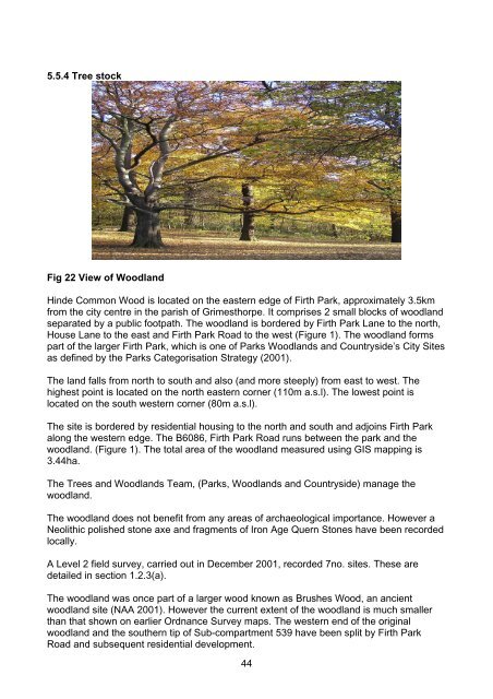
Fig 22 View of Woodland<br />
Hinde Common Wood is located on the eastern edge of <strong>Firth</strong> <strong>Park</strong>, approximately 3.5km<br />
from the city centre in the parish of Grimesthorpe. It comprises 2 small blocks of woodland<br />
separated by a public footpath. The woodland is bordered by <strong>Firth</strong> <strong>Park</strong> Lane to the north,<br />
House Lane to the east and <strong>Firth</strong> <strong>Park</strong> Road to the west (Figure 1). The woodland <strong>for</strong>ms<br />
part of the larger <strong>Firth</strong> <strong>Park</strong>, which is one of <strong>Park</strong>s Woodlands and Countryside’s City Sites<br />
as defined by the <strong>Park</strong>s Categorisation Strategy (2001).<br />
The land falls from north to south and also (and more steeply) from east to west. The<br />
highest point is located on the north eastern corner (110m a.s.l). The lowest point is<br />
located on the south western corner (80m a.s.l).<br />
The site is bordered by residential housing to the north and south and adjoins <strong>Firth</strong> <strong>Park</strong><br />
along the western edge. The B6086, <strong>Firth</strong> <strong>Park</strong> Road runs between the park and the<br />
woodland. (Figure 1). The total area of the woodland measured using GIS mapping is<br />
3.44ha.<br />
The Trees and Woodlands Team, (<strong>Park</strong>s, Woodlands and Countryside) manage the<br />
woodland.<br />
The woodland does not benefit from any areas of archaeological importance. However a<br />
Neolithic polished stone axe and fragments of Iron Age Quern Stones have been recorded<br />
locally.<br />
A Level 2 field survey, carried out in December 2001, recorded 7no. sites. These are<br />
detailed in section 1.2.3(a).<br />
The woodland was once part of a larger wood known as Brushes Wood, an ancient<br />
woodland site (NAA 2001). However the current extent of the woodland is much smaller<br />
than that shown on earlier Ordnance Survey maps. The western end of the original<br />
woodland and the southern tip of Sub-compartment 539 have been split by <strong>Firth</strong> <strong>Park</strong><br />
Road and subsequent residential development.<br />
44