Poster Sessions, pages 567-640 - ICOET
Poster Sessions, pages 567-640 - ICOET
Poster Sessions, pages 567-640 - ICOET
Create successful ePaper yourself
Turn your PDF publications into a flip-book with our unique Google optimized e-Paper software.
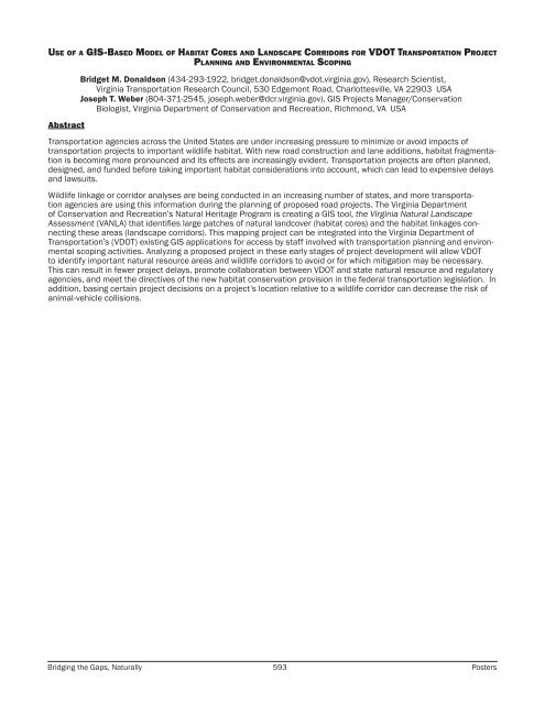
Use of a GIS-Based Model of Habitat Cores and Landscape Corridors for VDOT Transportation Project<br />
Planning and Environmental Scoping<br />
Abstract<br />
Bridget M. Donaldson (434-293-1922, bridget.donaldson@vdot.virginia.gov), Research Scientist,<br />
Virginia Transportation Research Council, 530 Edgemont Road, Charlottesville, VA 22903 USA<br />
Joseph T. Weber (804-371-2545, joseph.weber@dcr.virginia.gov), GIS Projects Manager/Conservation<br />
Biologist, Virginia Department of Conservation and Recreation, Richmond, VA USA<br />
Transportation agencies across the United States are under increasing pressure to minimize or avoid impacts of<br />
transportation projects to important wildlife habitat. With new road construction and lane additions, habitat fragmentation<br />
is becoming more pronounced and its effects are increasingly evident. Transportation projects are often planned,<br />
designed, and funded before taking important habitat considerations into account, which can lead to expensive delays<br />
and lawsuits.<br />
Wildlife linkage or corridor analyses are being conducted in an increasing number of states, and more transportation<br />
agencies are using this information during the planning of proposed road projects. The Virginia Department<br />
of Conservation and Recreation’s Natural Heritage Program is creating a GIS tool, the Virginia Natural Landscape<br />
Assessment (VANLA) that identifies large patches of natural landcover (habitat cores) and the habitat linkages connecting<br />
these areas (landscape corridors). This mapping project can be integrated into the Virginia Department of<br />
Transportation’s (VDOT) existing GIS applications for access by staff involved with transportation planning and environmental<br />
scoping activities. Analyzing a proposed project in these early stages of project development will allow VDOT<br />
to identify important natural resource areas and wildlife corridors to avoid or for which mitigation may be necessary.<br />
This can result in fewer project delays, promote collaboration between VDOT and state natural resource and regulatory<br />
agencies, and meet the directives of the new habitat conservation provision in the federal transportation legislation. In<br />
addition, basing certain project decisions on a project’s location relative to a wildlife corridor can decrease the risk of<br />
animal-vehicle collisions.<br />
Bridging the Gaps, Naturally 593 <strong>Poster</strong>s


