Poster Sessions, pages 567-640 - ICOET
Poster Sessions, pages 567-640 - ICOET
Poster Sessions, pages 567-640 - ICOET
Create successful ePaper yourself
Turn your PDF publications into a flip-book with our unique Google optimized e-Paper software.
Abstract<br />
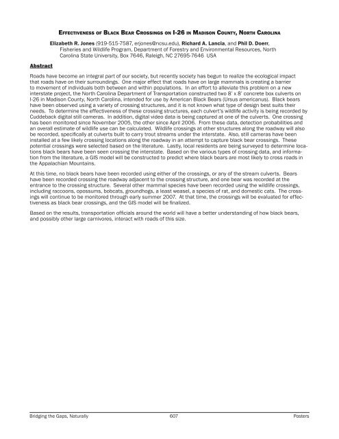
Effectiveness of Black Bear Crossings on I-26 in Madison County, North Carolina<br />
Elizabeth R. Jones (919-515-7587, erjones@ncsu.edu), Richard A. Lancia, and Phil D. Doerr,<br />
Fisheries and Wildlife Program, Department of Forestry and Environmental Resources, North<br />
Carolina State University, Box 7646, Raleigh, NC 27695-7646 USA<br />
Roads have become an integral part of our society, but recently society has begun to realize the ecological impact<br />
that roads have on their surroundings. One major effect that roads have on large mammals is creating a barrier<br />
to movement of individuals both between and within populations. In an effort to alleviate this problem on a new<br />
interstate project, the North Carolina Department of Transportation constructed two 8’ x 8’ concrete box culverts on<br />
I-26 in Madison County, North Carolina, intended for use by American Black Bears (Ursus americanus). Black bears<br />
have been observed using a variety of crossing structures, and it is not known what type of design best suits their<br />
needs. To determine the effectiveness of these crossing structures, each culvert’s wildlife activity is being recorded by<br />
Cuddeback digital still cameras. In addition, digital video data is being captured at one of the culverts. One crossing<br />
has been monitored since November 2005, the other since April 2006. From these data, detection probabilities and<br />
an overall estimate of wildlife use can be calculated. Wildlife crossings at other structures along the roadway will also<br />
be recorded, specifically at culverts built to carry trout streams under the interstate. Also, still cameras have been<br />
installed at a few likely crossing locations along the roadway in an attempt to capture black bear crossings. These<br />
potential crossings were selected based on the literature. Lastly, local residents are being surveyed to determine locations<br />
black bears have been seen crossing the interstate. Based on the various types of crossing data, and information<br />
from the literature, a GIS model will be constructed to predict where black bears are most likely to cross roads in<br />
the Appalachian Mountains.<br />
At this time, no black bears have been recorded using either of the crossings, or any of the stream culverts. Bears<br />
have been recorded crossing the roadway adjacent to the crossing structure, and one bear was recorded at the<br />
entrance to the crossing structure. Several other mammal species have been recorded using the wildlife crossings,<br />
including raccoons, opossums, bobcats, groundhogs, a least weasel, a species of rat, and domestic cats. The crossings<br />
will continue to be monitored through early summer 2007. At that time, the crossings will be evaluated for effectiveness<br />
as black bear crossings, and the GIS model will be finalized.<br />
Based on the results, transportation officials around the world will have a better understanding of how black bears,<br />
and possibly other large carnivores, interact with roads of this size.<br />
Bridging the Gaps, Naturally 607 <strong>Poster</strong>s


