Mills in the Upcountry: a Historic Context, and a Summary of a Mill ...
Mills in the Upcountry: a Historic Context, and a Summary of a Mill ...
Mills in the Upcountry: a Historic Context, and a Summary of a Mill ...

You also want an ePaper? Increase the reach of your titles
YUMPU automatically turns print PDFs into web optimized ePapers that Google loves.
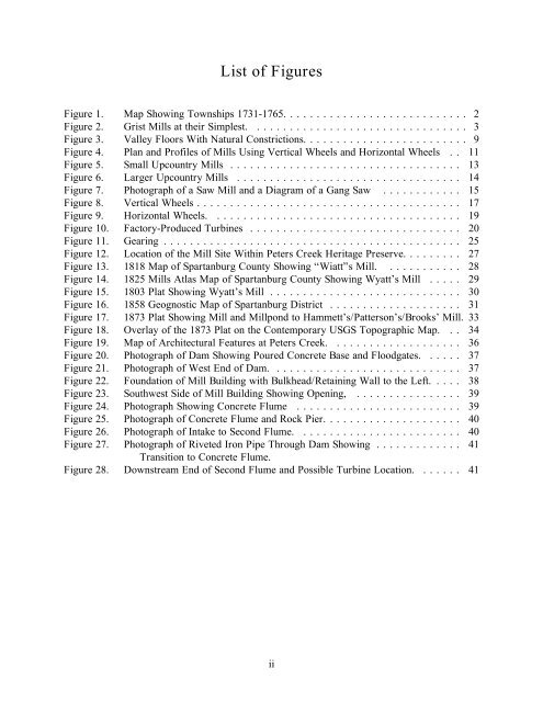
List <strong>of</strong> Figures<br />
Figure 1. Map Show<strong>in</strong>g Townships 1731-1765. . . . . . . . . . . . . . . . . . . . . . . . . . . . 2<br />
Figure 2. Grist <strong><strong>Mill</strong>s</strong> at <strong>the</strong>ir Simplest. . . . . . . . . . . . . . . . . . . . . . . . . . . . . . . . . 3<br />
Figure 3. Valley Floors With Natural Constrictions. . . . . . . . . . . . . . . . . . . . . . . . . 9<br />
Figure 4. Plan <strong>and</strong> Pr<strong>of</strong>iles <strong>of</strong> <strong><strong>Mill</strong>s</strong> Us<strong>in</strong>g Vertical Wheels <strong>and</strong> Horizontal Wheels . . 11<br />
Figure 5. Small <strong>Upcountry</strong> <strong><strong>Mill</strong>s</strong> ................................... 13<br />
Figure 6. Larger <strong>Upcountry</strong> <strong><strong>Mill</strong>s</strong> .................................. 14<br />
Figure 7. Photograph <strong>of</strong> a Saw <strong>Mill</strong> <strong>and</strong> a Diagram <strong>of</strong> a Gang Saw . . . . . . . . . . . . 15<br />
Figure 8. Vertical Wheels........................................ 17<br />
Figure 9. Horizontal Wheels. ..................................... 19<br />
Figure 10. Factory-Produced Turb<strong>in</strong>es . . . . . . . . . . . . . . . . . . . . . . . . . . . . . . . . 20<br />
Figure 11. Gear<strong>in</strong>g............................................. 25<br />
Figure 12. Location <strong>of</strong> <strong>the</strong> <strong>Mill</strong> Site With<strong>in</strong> Peters Creek Heritage Preserve. . . . . . . . . 27<br />
Figure 13. 1818 Map <strong>of</strong> Spartanburg County Show<strong>in</strong>g “Wiatt”s <strong>Mill</strong>. . . . . . . . . . . . 28<br />
Figure 14. 1825 <strong><strong>Mill</strong>s</strong> Atlas Map <strong>of</strong> Spartanburg County Show<strong>in</strong>g Wyatt’s <strong>Mill</strong> . . . . . 29<br />
Figure 15. 1803 Plat Show<strong>in</strong>g Wyatt’s <strong>Mill</strong> . . . . . . . . . . . . . . . . . . . . . . . . . . . . . 30<br />
Figure 16. 1858 Geognostic Map <strong>of</strong> Spartanburg District . . . . . . . . . . . . . . . . . . . . 31<br />
Figure 17. 1873 Plat Show<strong>in</strong>g <strong>Mill</strong> <strong>and</strong> <strong>Mill</strong>pond to Hammett’s/Patterson’s/Brooks’ <strong>Mill</strong>. 33<br />
Figure 18. Overlay <strong>of</strong> <strong>the</strong> 1873 Plat on <strong>the</strong> Contemporary USGS Topographic Map. . . 34<br />
Figure 19. Map <strong>of</strong> Architectural Features at Peters Creek. . . . . . . . . . . . . . . . . . . . 36<br />
Figure 20. Photograph <strong>of</strong> Dam Show<strong>in</strong>g Poured Concrete Base <strong>and</strong> Floodgates. . . . . . 37<br />
Figure 21. Photograph <strong>of</strong> West End <strong>of</strong> Dam. . . . . . . . . . . . . . . . . . . . . . . . . . . . . 37<br />
Figure 22. Foundation <strong>of</strong> <strong>Mill</strong> Build<strong>in</strong>g with Bulkhead/Reta<strong>in</strong><strong>in</strong>g Wall to <strong>the</strong> Left. . . . . 38<br />
Figure 23. Southwest Side <strong>of</strong> <strong>Mill</strong> Build<strong>in</strong>g Show<strong>in</strong>g Open<strong>in</strong>g, . . . . . . . . . . . . . . . . 39<br />
Figure 24. Photograph Show<strong>in</strong>g Concrete Flume . . . . . . . . . . . . . . . . . . . . . . . . . 39<br />
Figure 25. Photograph <strong>of</strong> Concrete Flume <strong>and</strong> Rock Pier. . . . . . . . . . . . . . . . . . . . . 40<br />
Figure 26. Photograph <strong>of</strong> Intake to Second Flume. . . . . . . . . . . . . . . . . . . . . . . . . 40<br />
Figure 27. Photograph <strong>of</strong> Riveted Iron Pipe Through Dam Show<strong>in</strong>g . . . . . . . . . . . . . 41<br />
Transition to Concrete Flume.<br />
Figure 28. Downstream End <strong>of</strong> Second Flume <strong>and</strong> Possible Turb<strong>in</strong>e Location. . . . . . . 41<br />
ii