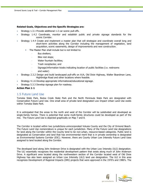
Ormond Scenic Loop & Trail - Florida Scenic Highways
Ormond Scenic Loop & Trail - Florida Scenic Highways
Ormond Scenic Loop & Trail - Florida Scenic Highways

Create successful ePaper yourself
Turn your PDF publications into a flip-book with our unique Google optimized e-Paper software.
<strong>Ormond</strong> <strong>Scenic</strong> <strong>Loop</strong> & <strong>Trail</strong> – Corridor Management Plan<br />
17<br />
Related Goals, Objectives and the Specific Strategies are:<br />
Strategy 1.3.1 Provide additional 1-2 car scenic pull-offs.<br />
Strategy 1.4.2 Coordinate, monitor and establish public and private signage standards for the<br />
scenic Corridor.<br />
Strategy 1.4.4 Create and implement a master plan that will strategize and coordinate overall long and<br />
short-term activities along the Corridor including the management of vegetation, land<br />
acquisition, scenic easements, design of improvements and new construction.<br />
The Master Plan shall include but is not limited to:<br />
- Bus shelters;<br />
- Bike rest stops;<br />
- Water fountain facilities;<br />
- Trash receptacles; and<br />
- Signage/information kiosks indicating location of public facilities (i.e. restrooms<br />
- and water)<br />
Strategy 2.3.2 Design and build landscaped pull-offs on A1A, Old Dixie Highway, Walter Boardman Lane,<br />
Highbridge Road and other locations where feasible.<br />
Strategy 4.1.6 Develop appropriate informational/educational signage.<br />
Strategy 5.3.3 Develop signage plan for roadway.<br />
Action Plan 1-1<br />
1.5 Future Land Use<br />
Tomoka State Park, Bulow Creek State Park and the North Peninsula State Park are designated with<br />
Conservation Future Land Use. One small area of private land designated Low Impact Urban Land Use exists<br />
within Tomoka State Park.<br />
It is anticipated that the areas to the north and west of the Corridor will be subdivided and developed as<br />
single-family homes. There is potential that some multi-family structures could be developed as part of the<br />
mix. The Future Land Use is depicted graphically on Map 7 and 8.<br />
The Corridor is located within two jurisdictions-unincorporated Volusia County and the City of <strong>Ormond</strong> Beach.<br />
The Future Land Use nomenclature is unique for each jurisdiction. Many of the Future Land Use designations<br />
for land along the Corridor within the County tend to be non-urban, resource-based categories. Public land is<br />
designated as Conservation and land that has environmental merit that is in private ownership is designated<br />
as Environmental Systems Corridor (ESC). However, there are County Urban Low Intensity Future Land Uses<br />
assigned to land located along the Corridor.<br />
The developed land along John Anderson Drive is designated with the Urban Low Intensity (ULI) designation.<br />
The ULI essentially recognizes the residential development pattern that exists along much of John Anderson<br />
Drive. A significant area located along the northwestern section of the Corridor located west of Old Dixie<br />
Highway has also been assigned an Urban Low Intensity (ULI) land use designation. The ULI in this area<br />
recognizes Development of Regional Impacts (DRI) projects that were approved in the 1970’s and 1980’s. The