Stormwater Manual - Pima County Flood Control District
Stormwater Manual - Pima County Flood Control District
Stormwater Manual - Pima County Flood Control District
You also want an ePaper? Increase the reach of your titles
YUMPU automatically turns print PDFs into web optimized ePapers that Google loves.
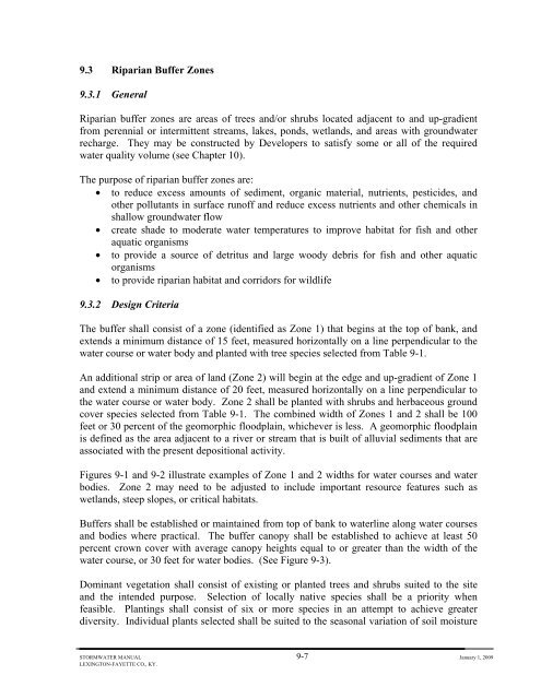
9.3 Riparian Buffer Zones<br />
9.3.1 General<br />
Riparian buffer zones are areas of trees and/or shrubs located adjacent to and up-gradient<br />
from perennial or intermittent streams, lakes, ponds, wetlands, and areas with groundwater<br />
recharge. They may be constructed by Developers to satisfy some or all of the required<br />
water quality volume (see Chapter 10).<br />
The purpose of riparian buffer zones are:<br />
• to reduce excess amounts of sediment, organic material, nutrients, pesticides, and<br />
other pollutants in surface runoff and reduce excess nutrients and other chemicals in<br />
shallow groundwater flow<br />
• create shade to moderate water temperatures to improve habitat for fish and other<br />
aquatic organisms<br />
• to provide a source of detritus and large woody debris for fish and other aquatic<br />
organisms<br />
• to provide riparian habitat and corridors for wildlife<br />
9.3.2 Design Criteria<br />
The buffer shall consist of a zone (identified as Zone 1) that begins at the top of bank, and<br />
extends a minimum distance of 15 feet, measured horizontally on a line perpendicular to the<br />
water course or water body and planted with tree species selected from Table 9-1.<br />
An additional strip or area of land (Zone 2) will begin at the edge and up-gradient of Zone 1<br />
and extend a minimum distance of 20 feet, measured horizontally on a line perpendicular to<br />
the water course or water body. Zone 2 shall be planted with shrubs and herbaceous ground<br />
cover species selected from Table 9-1. The combined width of Zones 1 and 2 shall be 100<br />
feet or 30 percent of the geomorphic floodplain, whichever is less. A geomorphic floodplain<br />
is defined as the area adjacent to a river or stream that is built of alluvial sediments that are<br />
associated with the present depositional activity.<br />
Figures 9-1 and 9-2 illustrate examples of Zone 1 and 2 widths for water courses and water<br />
bodies. Zone 2 may need to be adjusted to include important resource features such as<br />
wetlands, steep slopes, or critical habitats.<br />
Buffers shall be established or maintained from top of bank to waterline along water courses<br />
and bodies where practical. The buffer canopy shall be established to achieve at least 50<br />
percent crown cover with average canopy heights equal to or greater than the width of the<br />
water course, or 30 feet for water bodies. (See Figure 9-3).<br />
Dominant vegetation shall consist of existing or planted trees and shrubs suited to the site<br />
and the intended purpose. Selection of locally native species shall be a priority when<br />
feasible. Plantings shall consist of six or more species in an attempt to achieve greater<br />
diversity. Individual plants selected shall be suited to the seasonal variation of soil moisture<br />
STORMWATER MANUAL 9-7 January 1, 2009<br />
LEXINGTON-FAYETTE CO., KY.


