Stormwater Manual - Pima County Flood Control District
Stormwater Manual - Pima County Flood Control District
Stormwater Manual - Pima County Flood Control District
Create successful ePaper yourself
Turn your PDF publications into a flip-book with our unique Google optimized e-Paper software.
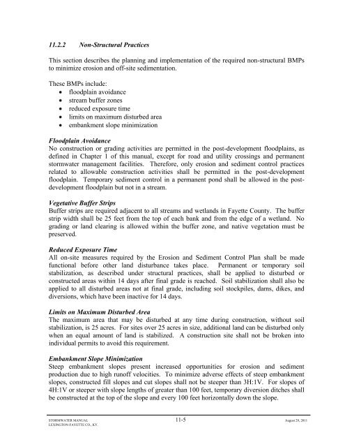
11.2.2 Non-Structural Practices<br />
This section describes the planning and implementation of the required non-structural BMPs<br />
to minimize erosion and off-site sedimentation.<br />
These BMPs include:<br />
floodplain avoidance<br />
stream buffer zones<br />
reduced exposure time<br />
limits on maximum disturbed area<br />
embankment slope minimization<br />
<strong>Flood</strong>plain Avoidance<br />
No construction or grading activities are permitted in the post-development floodplains, as<br />
defined in Chapter 1 of this manual, except for road and utility crossings and permanent<br />
stormwater management facilities. Therefore, only erosion and sediment control practices<br />
related to allowable construction activities shall be permitted in the post-development<br />
floodplain. Temporary sediment control in a permanent pond shall be allowed in the postdevelopment<br />
floodplain but not in a stream.<br />
Vegetative Buffer Strips<br />
Buffer strips are required adjacent to all streams and wetlands in Fayette <strong>County</strong>. The buffer<br />
strip width shall be 25 feet from the top of each bank and from the edge of a wetland. No<br />
grading or land clearing is allowed within the buffer zone, and native vegetation must be<br />
preserved.<br />
Reduced Exposure Time<br />
All on-site measures required by the Erosion and Sediment <strong>Control</strong> Plan shall be made<br />
functional before other land disturbance takes place. Permanent or temporary soil<br />
stabilization, as described under structural practices, shall be applied to disturbed or<br />
constructed areas within 14 days after final grade is reached. Soil stabilization shall also be<br />
applied to all disturbed areas not at final grade, including soil stockpiles, dams, dikes, and<br />
diversions, which have been inactive for 14 days.<br />
Limits on Maximum Disturbed Area<br />
The maximum area that may be disturbed at any time during construction, without soil<br />
stabilization, is 25 acres. For sites over 25 acres in size, additional land can be disturbed only<br />
when an equal amount of land is stabilized. A construction site shall not be broken into<br />
individual permits to avoid this requirement.<br />
Embankment Slope Minimization<br />
Steep embankment slopes present increased opportunities for erosion and sediment<br />
production due to high runoff velocities. To minimize adverse effects of steep embankment<br />
slopes, constructed fill slopes and cut slopes shall not be steeper than 3H:1V. For slopes of<br />
4H:1V or steeper with slope lengths of greater than 100 feet, temporary diversion ditches shall<br />
be constructed at the top of the slope and every 100 feet horizontally down the slope.<br />
STORMWATER MANUAL 11-5 August 29, 2011<br />
LEXINGTON-FAYETTE CO., KY.


