Bulletin 58. NJ Geodetic Control Survey Bench Marks in ...
Bulletin 58. NJ Geodetic Control Survey Bench Marks in ...
Bulletin 58. NJ Geodetic Control Survey Bench Marks in ...
Create successful ePaper yourself
Turn your PDF publications into a flip-book with our unique Google optimized e-Paper software.
NEW JERSEY<br />
Cumber land<br />
1940<br />
County<br />
_EO_IC CONTROL _V_ I_-B _ge 14 J<br />
DE_CRIPTION OF BENCH MARKS<br />
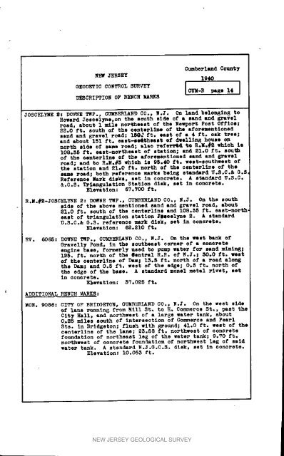
JOSCELYNE Ns D_NNE TWp.. CUMBERLANDCO., N.J. On land belonglng to<br />
Howard Joscelyne,on the south side of a sand and gravel<br />
road, about 1 mile northeast of the Newport POS_ 0fflee;<br />
22.0 ft. south of the centerl<strong>in</strong>e of _he aforementioned<br />
sand and _Tavel rc4d; 1M_ ft. east of • 4 ft. oak treej<br />
and about 151 ft. east-me4theant of dwell<strong>in</strong>g house on<br />
north side of Lame r_d; also re£e_ %0 R._.#_ which is<br />
108.55 ft. east-northeast of s_ation; and 21.0 ft* sou_<br />
of the aenterl<strong>in</strong>e of t]_ aforementioned sand and gravel<br />
road; and to R,Mo#3 which <strong>in</strong> 95°40 fro west-southwest of<br />
the station and 21.0 ft. north of the centerl<strong>in</strong>o of the<br />
same ro_d_ both reference marks be<strong>in</strong>g standard U.S.C.& 0.S<br />
Reference _ark disks, set <strong>in</strong> concrete. A standard U.S.C.<br />
&.G.N. Triangulation Station disk, set <strong>in</strong> concrete.<br />
Elevat Ion : 6V.700 ft.<br />
_.M.#2-JOSCELYNE 2Z DOWNE TWP., CUMBERLAND CO., N.J. On the south<br />
side of the above mentioned sand and gravel road, about<br />
21.0 ft. south of the centerllno and 108.55 ft. east-north<br />
east of triang_lation station 3_eolyno 2. A standard<br />
U.S.C.& D.3. reference mark disk, set <strong>in</strong> _oncrete.<br />
Elevation: 62.210 ft.<br />
RV. @065: DOWNETifF.. CUMBERLANDCO., N*3. On the west bank of<br />
GravellF Pond, <strong>in</strong> the southeast corner of a eonorete<br />
eng<strong>in</strong>e base, formerly used to pump water for sand m<strong>in</strong><strong>in</strong>g;<br />
125. ft.' north of the @ent_al R._. of N.J._ 30.0 ft. vest:<br />
of _he oenterl_ne of _ 13.5 ft. north of a ro_d along<br />
the _ and 0.5 ft. west of the edge; 0._ ft. north of<br />
the edge of the bane. A standard monol metal rivet, set<br />
<strong>in</strong> _ODDre re.<br />
Elevation: 5?.025 ft.<br />
I ADDITIONAL BENCH MARKS:<br />
MON. 9086_ CITY OF BRIDGETOH_ CUMBERIAND CO., N.J. On the west side<br />
of lane _unn_n_ f_om Mill St, to E, Commerce St., _ast the<br />
C_ty Hall_ and northwest of • large water tank, about<br />
0,$5 m11Os south Of <strong>in</strong>tersection of Go_erce and Pear_<br />
N_s. _n Bridgeton; flush with E_ound; 41.0 ft. west of the<br />
centerllne of the lane; 25.58 ft. northwest of concrete<br />
foundation of northeast le_ of the water _ank; @.VO fie<br />
no_thwe_ of concrete foundation of northwest Is_ of said<br />
water tank. A stan_rd N.J.D.C.S. disk. set <strong>in</strong> _onore_s.<br />
Elevation: 10.053 ft.<br />
NEW JERSEY GEOLOGICAL SURVEY


