Download Full Catalogue - swalim
Download Full Catalogue - swalim
Download Full Catalogue - swalim

Create successful ePaper yourself
Turn your PDF publications into a flip-book with our unique Google optimized e-Paper software.
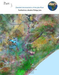
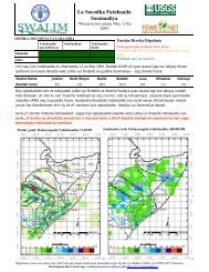
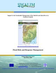
Hydraulic Behaviour of the Juba and Shabelle Rivers: Basic Analysis forIrrigation and Flood Management PurposesWater resources management of the Juba and Shabelle Riversinvolves two major issues: flood management and irrigation watersupply. This study was commissioned to determine the hydrologyand hydraulics of the two rivers to support these issues. The generalhydraulic characteristics of the two rivers were determined and,water availability and water balance at key locations were calculated.Furthermore, detailed analyses of the characteristics of the tworiver catchments and their hydrological and hydraulic features wereundertaken. Irrigation water requirements for general croppingpatterns in the Juba and Shabelle river areas were derived. The results and informationproduced are useful for planning activities in irrigation and river management by policymakers, planners and donors.Analysis of General Climatic Conditions of Somalia in Support ofDrought MonitoringDrought in the Horn of Africa is one of the most important, mostfrequent and often misinterpreted natural phenomena. The definitionitself requires clarification. “Drought” is used to explain manydifferent types of food shortage situations caused by rainfall deficit,crop disease, armed conflicts, market problems, or just by aridity.Because of the incorrect diagnosis, the treatment may also bewrong. Most existing drought related indexes are single parameterindicators, not able to reflect the complex nature of the drought andvery difficult to use in a data scarce environment, like the one in theHorn of Africa, especially in Somalia. This document takes initialsteps to create a drought index combining rainfall, temperature andNormalised Difference Vegetation Index (NDVI) characteristics and compares the actualsituation with the multi-year average characteristics.Somalia Flood Forecasting SystemIn response to the recurring floods in the riverine areas of the Jubaand Shabelle Rivers in southern Somalia, SWALIM started developinga flood forecasting system that is capable of advancing early warninginformation to the vulnerable communities in order to save livesand assets and mitigate the damage caused by floods. The first steptowards developing this system, involved testing several hydrologicalmodels to establish the most appropriate one for Somali conditions.This report describes the data requirements, application andpreliminary results obtained from the different hydrological modelstested. The results and recommendations of this report form the basis for the developmentof a functional real time flood forecasting system which will be a key input to theemergency flood risk and response management system for Somalia.8