

engineering design day 2012 - College of Engineering @ The ...
engineering design day 2012 - College of Engineering @ The ...
engineering design day 2012 - College of Engineering @ The ...

Create successful ePaper yourself
Turn your PDF publications into a flip-book with our unique Google optimized e-Paper software.
58<br />
VIEWING EARTh’S CuRVATuRE WITh A WEAThER BALLooN<br />
Interdisciplinary <strong>Engineering</strong> Design Program<br />
CLASS<br />
ENGR 498A/B<br />
SpoNSoR<br />
Lockheed Martin<br />
Advanced Technology Center<br />
SpoNSoR mENToR/ADVISoR<br />
Richard Tansey<br />
pRoJECT mENToR<br />
Doug May<br />
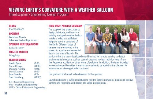
TEAm mEmBERS<br />
Austin Byrne (ME)<br />
Xochitl Cooper (OSE)<br />
Devinna Fleming (OSE)<br />
Derek Koomar (ME)<br />
John Morales (EE)<br />
Sam Nerenberg (OSE))<br />
EE = Electrical <strong>Engineering</strong><br />
ME = Mechanical <strong>Engineering</strong><br />
OSE = Optical Sciences & <strong>Engineering</strong><br />
TEAm 4959: pRoJECT SummARY<br />
<strong>The</strong> scope <strong>of</strong> the project was to<br />
<strong>design</strong>, fabricate, and launch a<br />
suitably equipped weather balloon<br />
to take a video at a sufficient<br />
height to see the curvature <strong>of</strong><br />
the Earth. Different types <strong>of</strong><br />
sensors were employed in the<br />
project to acquire environmental<br />
data in the area <strong>of</strong> launch. <strong>The</strong><br />
platform that the team developed could be used for remote sensing to detect<br />
environmental concerns such as ozone increases, nuclear radiation levels from<br />
the Japanese accident, or other forms <strong>of</strong> pollution. In addition, the team included<br />
a more advanced live video transmission module to be added to the platform for<br />
instantaneous viewing <strong>of</strong> video captured.<br />
<strong>The</strong> goal and final result to be delivered to the sponsor:<br />
Launch camera to a sufficient altitude to see the Earth’s curvature, locate and retrieve<br />
camera and recording, and display the video at <strong>design</strong> <strong>day</strong>.