Biodiversity Guide - The Intertwine
Biodiversity Guide - The Intertwine
Biodiversity Guide - The Intertwine
You also want an ePaper? Increase the reach of your titles
YUMPU automatically turns print PDFs into web optimized ePapers that Google loves.
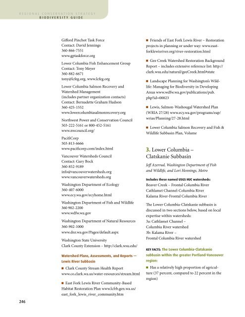
egional conservation strategybiodiversity guideAppendix I WatershedsGifford Pinchot Task ForceContact: David Jennings360-866-7551www.gptaskforce.orgLower Columbia Fish Enhancement GroupContact: Tony Meyer360-882-6671tony@lcfeg.org, www.lcfeg.orgLower Columbia Salmon Recovery andWatershed Management(includes partner organization contacts)Contact: Bernadette Graham Hudson360-425-1552www.lowercolumbiasalmonrecovery.orgNorthwest Power and Conservation Council503-222-5161 or 800-452-5161www.nwcouncil.org/PacifiCorp503-813-6666www.pacificorp.com/index.htmlVancouver Watersheds CouncilContact: Gary Bock360-852-9189info@vancouverwatersheds.orgwww.vancouverwatersheds.orgWashington Department of Ecology360-407-6000www.ecy.wa.gov/ecyhome.htmlWashington Department of Fish and Wildlife360 902-2200www.wdfw.wa.govWashington Department of Natural Resources360-902-1000www.dnr.wa.gov/Pages/default.aspxWashington State UniversityClark County Extension – http://clark.wsu.edu/Watershed Plans, Assessments, and Reports —Lewis River Subbasinn Clark County Stream Health Reportwww.co.clark.wa.us/water-resources/stream.htmln East Fork Lewis River Community-BasedHabitat Restoration Plan www.lcfrb.gen.wa.us/east_fork_lewis_river_community.htmn Friends of East Fork Lewis River – Restorationprojects in planning or under way: www.eastforklewisriver.org/river-restoration.htmln Gee Creek Watershed Restoration BackgroundReport – includes extensive reference list: http://clark.wsu.edu/natural/geeCreek.html#staten Landscape Planning for Washington’s Wildlife:Managing for <strong>Biodiversity</strong> in DevelopingAreas www.wdfw.wa.gov/publications/pub.php?id=00023n Lewis, Salmon-Washougal Watershed Plan(WRIA 27/28) www.ecy.wa.gov/programs/eap/wrias/Planning/27-28.htmln Lower Columbia Salmon Recovery and Fish &Wildlife Subbasin Plan, Volume3. Lower Columbia –Clatskanie SubbasinJeff Azerrad, Washington Department of Fishand Wildlife, and Lori Hennings, MetroIncludes these named USGS HUC watersheds:Beaver Creek – Frontal Columbia RiverCathlamet Channel-Columbia RiverKalama River-Frontal Columbia River<strong>The</strong> Lower Columbia-Clatskanie subbasin isdiscussed in two sections below, based on localexpertise within watersheds:3a: Cathlamet Channel –Columbia River watershed3b: Kalama River –Frontal Columbia River watershedKey Facts: <strong>The</strong> Lower Columbia-Clatskaniesubbasin within the greater Portland-Vancouverregion:n Has a relatively high proportion of agriculture(37 percent, compared to 22 percent in theregion)Lower Columbia–Clatskanie Subbasin (partial)21,976 acresn Includes 10 percent developed land.n Has 18 percent water coverage (second only tothe Hayden Island-Columbia River watershed),primarily because of its mainstem rivers.n Has lower than average (29 percent) tree cover,virtually none which is in public ownership.n Has correspondingly low percentages of forestpatches (23 percent) and interior forest habitat(14 percent).n Has nearly 9,000 acres within the FEMA 100-year floodplain and about 2,900 acres of mappedwetlands.3a. Cathlamet Channel – Columbia River<strong>The</strong> Cathlamet Channel-Columbia River subbasinincludes the mainstem Columbia River anda number of islands within the river. <strong>The</strong> landbordering the mainstem and islands generally liesin adjacent subbasins. Its northern (i.e., downstream)extent is near Skamokawa, Washington,north of Cathlamette Island. <strong>The</strong> watershed’ssouthern (i.e., upstream) boundary is just northof Sauvie Island Wildlife Area and adjacent tothe city of St. Helens on the Oregon side, andjust north of the Lewis River/Columbia Riverconfluence on the Washington side. Only a smallportion of the watershed—just over 7 squaremiles—lies within the boundary of the greaterPortland-Vancouver region.<strong>The</strong> river and its floodplain constitute anecological unit of singular importance because ofits size, the diversity of high-quality habitat it provides,and its extremely high value for waterfowland shorebirds for breeding, feeding, and migration.<strong>The</strong> area also provides critical connectivityfor salmon and wildlife. About one-quarter ofthe area is terrestrial habitat, made up mostly ofcottonwood riparian forest, shrublands, mudflats,and some of the region’s most abundant sand barsin a setting of islands, side channels, sloughs, andshoreline. Invertebrate density and diversity areparticularly high in such areas, and associatedshallow- and deep-water habitats are important tosalmon life cycles.<strong>The</strong> complex of habitats provides a richenvironment for shorebirds, waterfowl, and otherwildlife. Waterfowl form large concentrations inthe watershed during the winter, including duskyCanada geese, tundra swans, wigeon, mallards,pintails, and cavity-nesting ducks. Osprey neston artificial platforms and wood pilings. <strong>The</strong>area also supports migrating sandhill cranes andresident and breeding Canada geese. <strong>The</strong> riparianand floodplain forested habitat along all theislands host a fair number of breeding songbirdssuch as song sparrow, Swainson’s thrush, commonyellowthroat, and other warblers.Historically, this basin was composed of about23 percent water (primarily the Columbia Riverand its large floodplain lakes), 25 percent prairie246 247Land cover% of WatershedAgriculture 37%Regen. forest 2%Developed 10%Low Veg 5%Tree Cover 29%Water 18%Forest Patches* 23%JurisdictionsSt. Helens/ Columbia City 6%Rural 94%*Tree/regen. forest patches >30 acres.


