Transformations and OSGM02 user guide - Leica Geosystems
Transformations and OSGM02 user guide - Leica Geosystems
Transformations and OSGM02 user guide - Leica Geosystems
- No tags were found...
You also want an ePaper? Increase the reach of your titles
YUMPU automatically turns print PDFs into web optimized ePapers that Google loves.
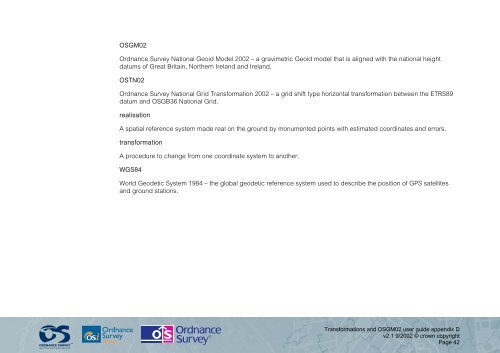
<strong>OSGM02</strong>Ordnance Survey National Geoid Model 2002 – a gravimetric Geoid model that is aligned with the national heightdatums of Great Britain, Northern Irel<strong>and</strong> <strong>and</strong> Irel<strong>and</strong>.OSTN02Ordnance Survey National Grid Transformation 2002 – a grid shift type horizontal transformation between the ETRS89datum <strong>and</strong> OSGB36 National Grid.realisationA spatial reference system made real on the ground by monumented points with estimated coordinates <strong>and</strong> errors.transformationA procedure to change from one coordinate system to another.WGS84World Geodetic System 1984 – the global geodetic reference system used to describe the position of GPS satellites<strong>and</strong> ground stations.<strong>Transformations</strong> <strong>and</strong> <strong>OSGM02</strong> <strong>user</strong> <strong>guide</strong> appendix Dv2.1 9/2002 © crown copyrightPage 42


