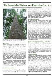
Forest Management Plan - Sabah Forestry Department
Forest Management Plan - Sabah Forestry Department
Forest Management Plan - Sabah Forestry Department

You also want an ePaper? Increase the reach of your titles
YUMPU automatically turns print PDFs into web optimized ePapers that Google loves.
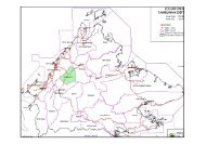
Based on the slope classification, approximately 92.3 % of the total area is considerablyundulating hills having slopes ranging from 0º to 25º, and the rest with slopes greaterthan 25º.Figure 2.2: Slope classification in FMU 17A2.3.2 GeologyGeologically, the area is formed by two different rock types namely, sedimentary rocksof the Kulapis Formation, which was probably laid down in the mid to late tertiary period(Eocene-Oligocene), and ultrabasic igneous rocks of the cretaceous to early tertiaryperiod. The Kulapis Formation consists of red calcareous sandstone, mudstone and shalewhile ultrabasic igneous rocks are composed largely of serpentinite, peridotite, duniteand pyroxenite.2.3.3 SoilsSoils within FMU 17A can be broadly divided into 6 main soil associations namely, Lokan,Bidu-Bidu, Dalit, Mentapok, Tawai and Binalik Association (Table 2.2 & Figure 2.3). A soilassociation is a grouping of soil units that occur together within landscape units withcharacteristic patterns of landform, parent material and vegetation.7