Destination: Mars - ER - NASA
Destination: Mars - ER - NASA
Destination: Mars - ER - NASA
- No tags were found...

Create successful ePaper yourself
Turn your PDF publications into a flip-book with our unique Google optimized e-Paper software.
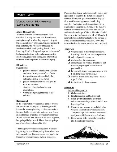
Part 2—Volcano MappingExtensionsAbout This ActivityStudents will simulate a mapping and fieldexercise. It is very similar to the first steps thatgeologists employ when they map and interpretthe geologic history of an area. Student teams willmap and study the volcanoes produced byanother team in Lava Layering, Part 1. LavaLayering, Part 2 is designed to promote the use ofhigher order thinking skills and encourages thequestioning, predicting, testing, and interpretingsequence that is important to scientific inquiry.ObjectivesStudents will:• produce a map of an unknown volcanoand show the sequence of lava flows.• interpret the map data and infer thesubsurface extent of the flows.• predict where excavations will give themost information.• simulate both natural and humanexcavations.• write a short geologic history of thevolcano.BackgroundIn the solar system, volcanism is a major processactive now and in the past. All the large, solidinner solar system planetary bodies have surfacefeatures that have been interpreted as lava flowsand volcanoes. <strong>Mars</strong> has spectacular volcanoes.Where volcanic heat and water are close together,hot springs likely formed. These thermal springscould have harbored microbial life.Photo geologists use pictures taken by planes andspacecraft to interpret the history of a planet’ssurface. If they can get to the surface, they dofield work by making maps and collectingsamples. Geologists used pictures taken from<strong>Mars</strong> orbit to interpret the history of the planet’ssurface. Soon there will be some new data toadd to the knowledge of <strong>Mars</strong>. The <strong>Mars</strong> GlobalSurveyor arrived at <strong>Mars</strong> in the fall of ‘97 and willreturn photos and other data about the surface of<strong>Mars</strong>. Pathfinder landed on July 4, 1997, andreturned valuable data on weather, rocks and soil.Materialsq volcano made of playdough from LavaLayering - Part 1, one volcano per teamq colored pencils or crayonsq metric rulers (two per group)q straight edge for cutting (dental floss andwire cut playdough if knives are notpermissible)q large width straws (one per group, or one5 cm-long piece per student.)q Student Sheet, Lava Layering - Part 2(pgs. 25-26)q toothpicks, 5-10 per volcanoProcedureAdvanced Preparation1. Gather materials.2. Read procedure and background.3. Small groups of students assemblevolcanoes according to directions in LavaLayering- Part 1.4. Mapping may be done immediately aftervolcano assembly or several days later.The playdough volcano must be coveredwith plastic if left more than a few hours.5. Review map skills such as keys, scales,and measuring techniques.The thought processes and sequence of observing,taking data, and interpreting that students usewhen completing this exercise are very similar tothe real investigations done by field geologists.10/97 <strong>NASA</strong> JSC <strong>Destination</strong>: <strong>Mars</strong> 21