Destination: Mars - ER - NASA
Destination: Mars - ER - NASA
Destination: Mars - ER - NASA
- No tags were found...
You also want an ePaper? Increase the reach of your titles
YUMPU automatically turns print PDFs into web optimized ePapers that Google loves.
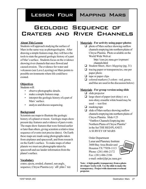
Lesson Four Mapping <strong>Mars</strong>Geologic Sequence ofCraters and River ChannelsAbout This LessonStudents will approach studying the surface of<strong>Mars</strong> in the same way as photogeologists. Afterdrawing a simple features map, they will have thetools to state the general geologic history of a partof Mar’s surface. Students focus on the evidenceshowing river channels that once flowed andcaused erosion. The evidence for water andvolcanoes (see Lava Layering) on <strong>Mars</strong> points topossible environments where life could haveexisted.ObjectivesStudents will:• observe photographic details.• make a simple features map.• interpret the geologic history of a part of<strong>Mars</strong>’ surface.• analyze and discuss sequencing.BackgroundScientists use maps to illustrate the geologichistory of a planet or moon. Geologic maps showpresent day features and evidence of past events.The maps show features that were formed earlieror later than others, giving scientists a relative timesequence of events (not precise dates). On Earththese maps are made using photographs takenfrom airplanes and spacecraft, and from researchon the Earth’s surface. To make maps of otherplanets we must use photographs taken byspacecraft and use lander information from theplanet’s surface.Vocabularycrater, ejecta, eroded, channel, sun angle,sequence, Chryse Planitia (cry´ see plän i´ ti )eMaterials - For activity using paper photosq photo of <strong>Mars</strong> surface showing outflowchannels emptying into northern plains ofChryse Planitia. Photo available on theWorld Wide Web at:http://cass.jsc.nasa.gov/expmars/channels.htmlq Student Sheet, <strong>Mars</strong> Mapping (pg. 31)q tracing paper or transparencies, one perpaper photoq tape or paper clipsq colored markers (3 colors - red, green,and blue are used in the discussion below)Materials - For group version using slideq slide projectorq large sheet of paper (not shiny) or anon-shiny erasable white board may beused — test firstq masking tapeq slide of <strong>Mars</strong> surface showing outflowchannels emptying into northern plains ofChryse Planitia. Slide # 25“Outflow Channels Emptying intoNorthern Plains of Chryse Planitia”in the Set THE RED PLANET:A SURVEY OF MARSOrder DepartmentLunar and Planetary Institute3600 Bay Area BoulevardHouston TX 77058-1113Phone: (281) 486-2172Fax: (281) 486-2186e-mail: order@lpi.jsc.nasa.govNote: A high quality transparency from a photodeveloper works well. Use the slide to make thetransparency. Project with classroom overheadprojector.10/97 <strong>NASA</strong> JSC <strong>Destination</strong>: <strong>Mars</strong> 27


