

Central Welland River Watershed Plan - Niagara Peninsula ...
Central Welland River Watershed Plan - Niagara Peninsula ...
Central Welland River Watershed Plan - Niagara Peninsula ...
- No tags were found...

Create successful ePaper yourself
Turn your PDF publications into a flip-book with our unique Google optimized e-Paper software.
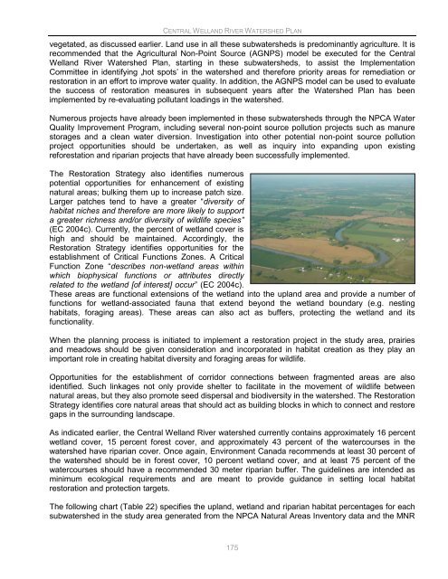
CENTRAL WELLAND RIVER WATERSHED PLANvegetated, as discussed earlier. Land use in all these subwatersheds is predominantly agriculture. It isrecommended that the Agricultural Non-Point Source (AGNPS) model be executed for the <strong>Central</strong><strong>Welland</strong> <strong>River</strong> <strong>Watershed</strong> <strong>Plan</strong>, starting in these subwatersheds, to assist the ImplementationCommittee in identifying „hot spots‟ in the watershed and therefore priority areas for remediation orrestoration in an effort to improve water quality. In addition, the AGNPS model can be used to evaluatethe success of restoration measures in subsequent years after the <strong>Watershed</strong> <strong>Plan</strong> has beenimplemented by re-evaluating pollutant loadings in the watershed.Numerous projects have already been implemented in these subwatersheds through the NPCA WaterQuality Improvement Program, including several non-point source pollution projects such as manurestorages and a clean water diversion. Investigation into other potential non-point source pollutionproject opportunities should be undertaken, as well as inquiry into expanding upon existingreforestation and riparian projects that have already been successfully implemented.The Restoration Strategy also identifies numerouspotential opportunities for enhancement of existingnatural areas; bulking them up to increase patch size.Larger patches tend to have a greater “diversity ofhabitat niches and therefore are more likely to supporta greater richness and/or diversity of wildlife species”(EC 2004c). Currently, the percent of wetland cover ishigh and should be maintained. Accordingly, theRestoration Strategy identifies opportunities for theestablishment of Critical Functions Zones. A CriticalFunction Zone “describes non-wetland areas withinwhich biophysical functions or attributes directlyrelated to the wetland [of interest] occur” (EC 2004c).These areas are functional extensions of the wetland into the upland area and provide a number offunctions for wetland-associated fauna that extend beyond the wetland boundary (e.g. nestinghabitats, foraging areas). These areas can also act as buffers, protecting the wetland and itsfunctionality.When the planning process is initiated to implement a restoration project in the study area, prairiesand meadows should be given consideration and incorporated in habitat creation as they play animportant role in creating habitat diversity and foraging areas for wildlife.Opportunities for the establishment of corridor connections between fragmented areas are alsoidentified. Such linkages not only provide shelter to facilitate in the movement of wildlife betweennatural areas, but they also promote seed dispersal and biodiversity in the watershed. The RestorationStrategy identifies core natural areas that should act as building blocks in which to connect and restoregaps in the surrounding landscape.As indicated earlier, the <strong>Central</strong> <strong>Welland</strong> <strong>River</strong> watershed currently contains approximately 16 percentwetland cover, 15 percent forest cover, and approximately 43 percent of the watercourses in thewatershed have riparian cover. Once again, Environment Canada recommends at least 30 percent ofthe watershed should be in forest cover, 10 percent wetland cover, and at least 75 percent of thewatercourses should have a recommended 30 meter riparian buffer. The guidelines are intended asminimum ecological requirements and are meant to provide guidance in setting local habitatrestoration and protection targets.The following chart (Table 22) specifies the upland, wetland and riparian habitat percentages for eachsubwatershed in the study area generated from the NPCA Natural Areas Inventory data and the MNR175


